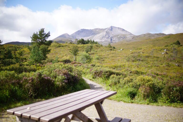
Aldie Burn – An Accessible Walk near Tain
Glen Aldie lies in the Morangie Forest, just outside Tain. There are quite a number of footpaths and bridleways through the forest, but the two walks around Aldie Burn are very well surfaced and have been designed as accessible paths.
Distance: We took the Aldie Burn Trail which is 1.75 miles / 2.8km. There is also a shorter trail just looping down to the pond, which is about 0.5 miles / 1km.
Parking: Travelling north on the A9 from the Cromarty Bridge, turn left on the B817 at Kildary. Go round a sharp left bend, and take a right turn signed ‘Scotsburn’ just before a bridge. Follow the single track road for a couple of miles to a T-junction, then turn right. The car park is on your left after about a mile, with Forestry Commission signs for Aldie Burn.
Amenities: no amenities at the car park.
Buggy/bike-friendly? Both trails are excellent for pushchairs, they are wide and well-surfaced. They would also be suitable for children on bikes, and there are longer bridleways further into the forest.
Aldie Burn: the route
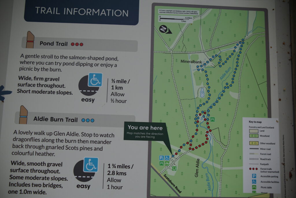
We took the longer ‘blue’ trail around the Aldie Burn, taking a clockwise direction to finish at the second bridge and pond.
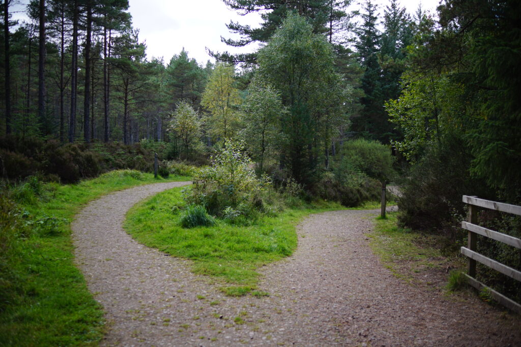
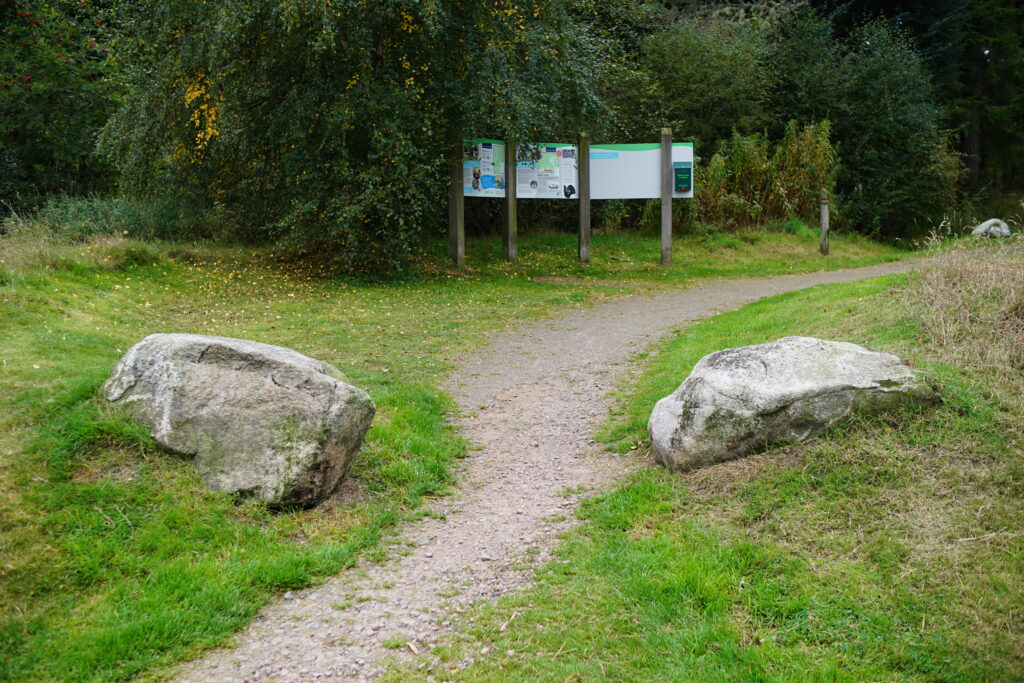
1. From the car park, take the path between two large boulders and past the map. After about 200m the path splits. We took the left-hand upper path, to continue around the blue Aldie Burn Trail in a clockwise direction.
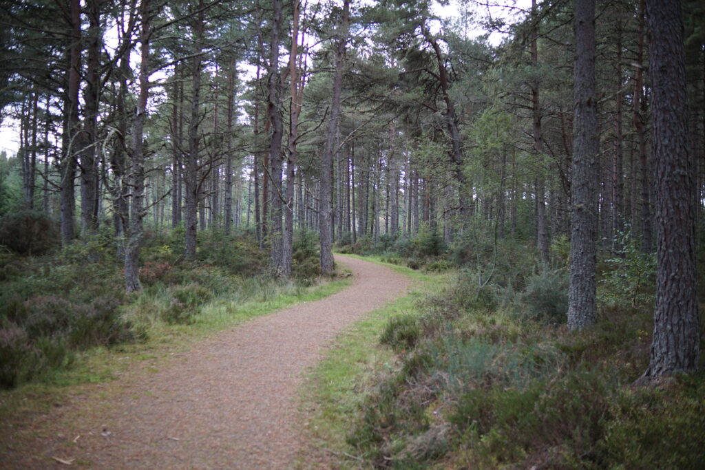
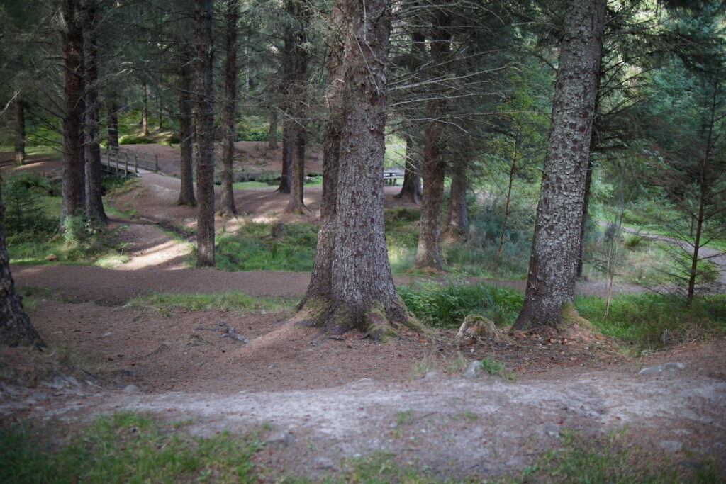
2. The path meanders through pleasant woodland. Ignore two side turnings to the left and stay on the main trail.
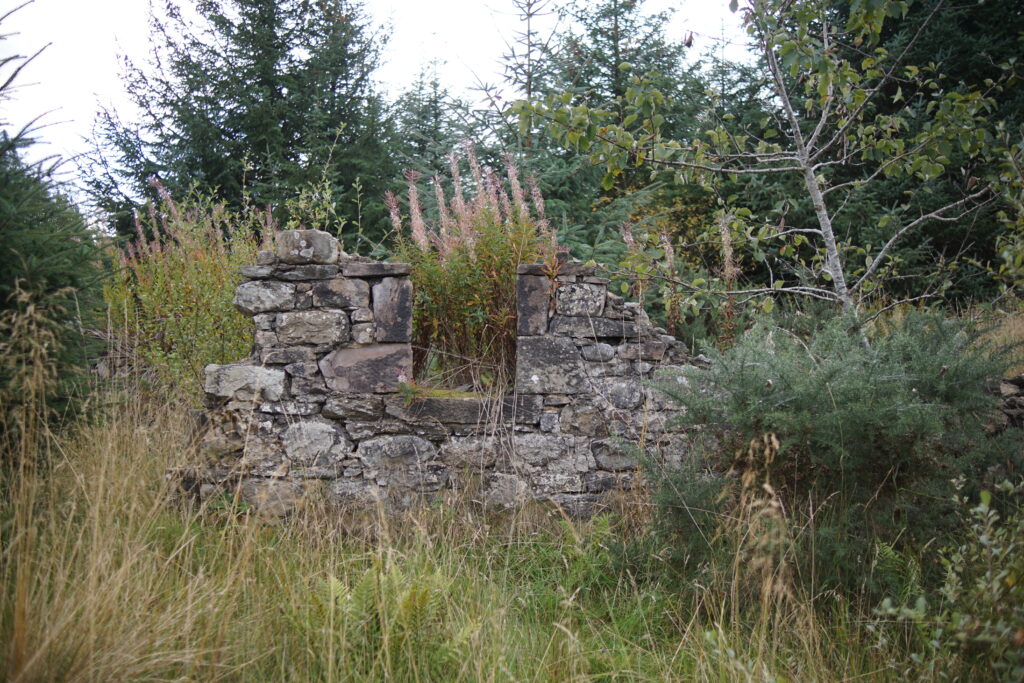
3. A little further on you will see the ruined croft of Mineralbank on the left of the path.
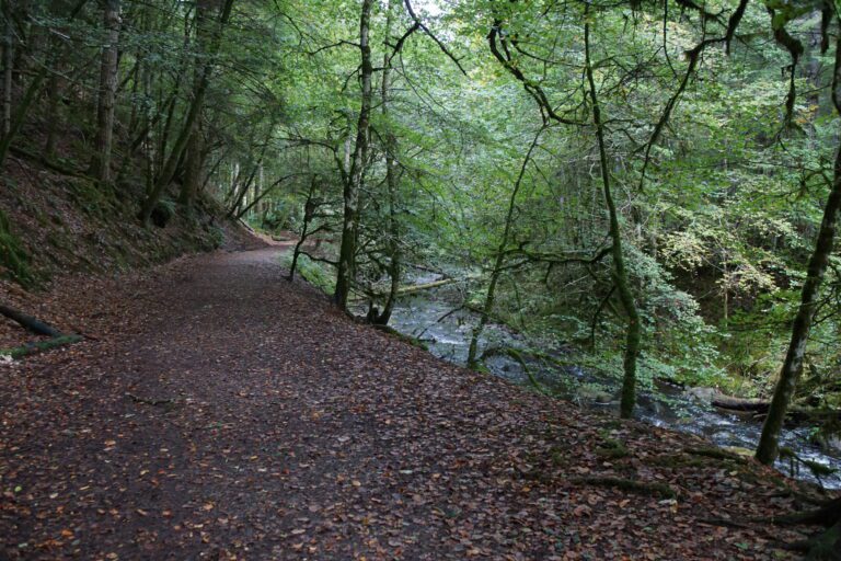
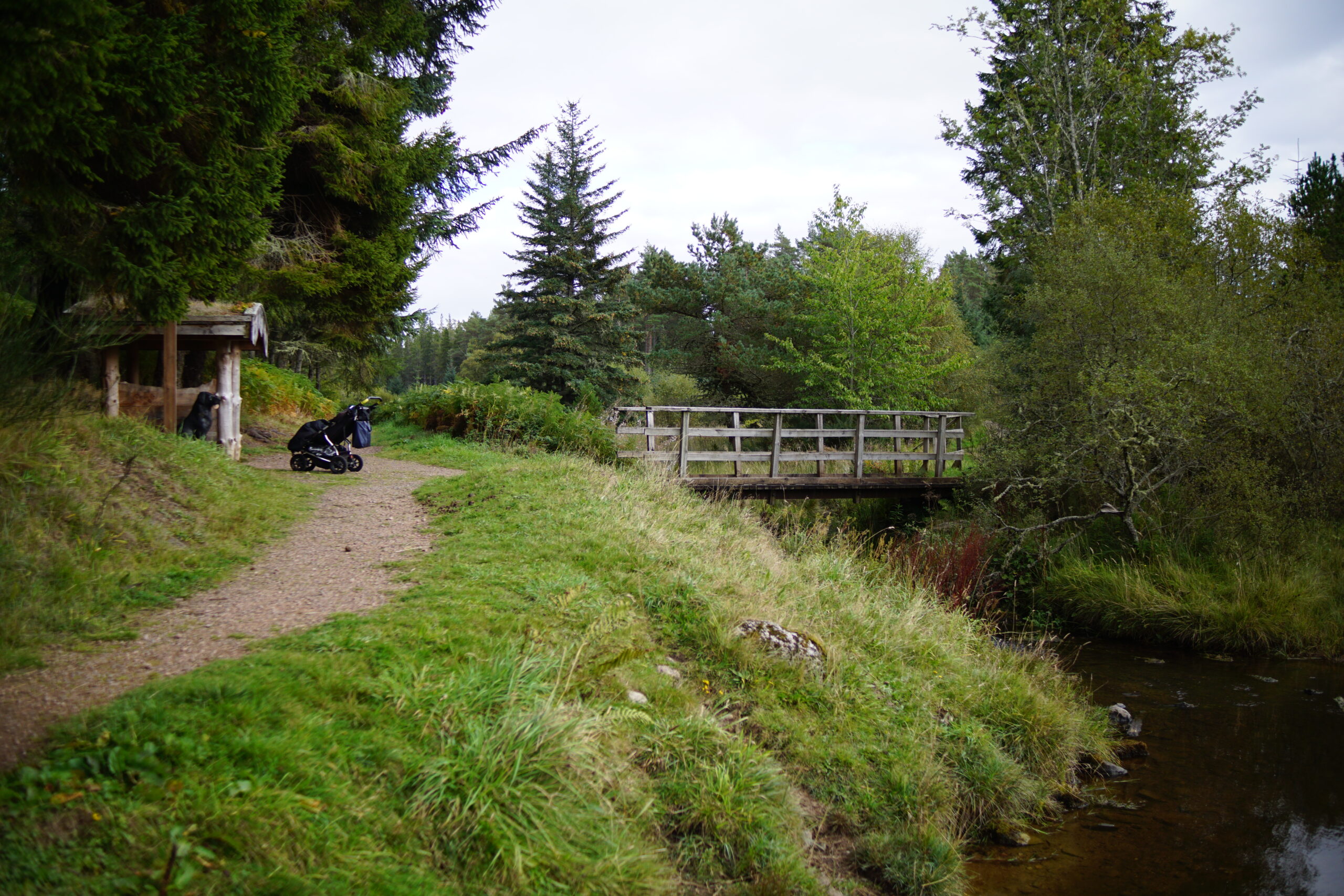
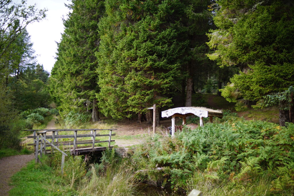
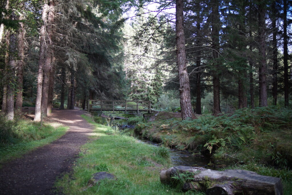
4. The route continues to follow the side of the glen until it means the Aldie burn at a bridge. There is a lovely spot here for paddling, and a wooden shelter.
5. Turn right, and follow the other bank of the burn, eventually reaching and crossing a second bridge.
Aldie Burn: what is the terrain like?
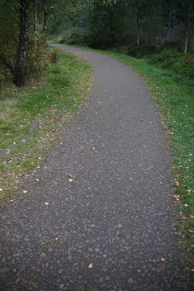
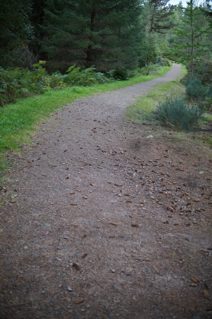
The Aldie Burn path is very high quality, and suitable for most pushchairs, though it would be bumpy in places without pneumatic tyres.
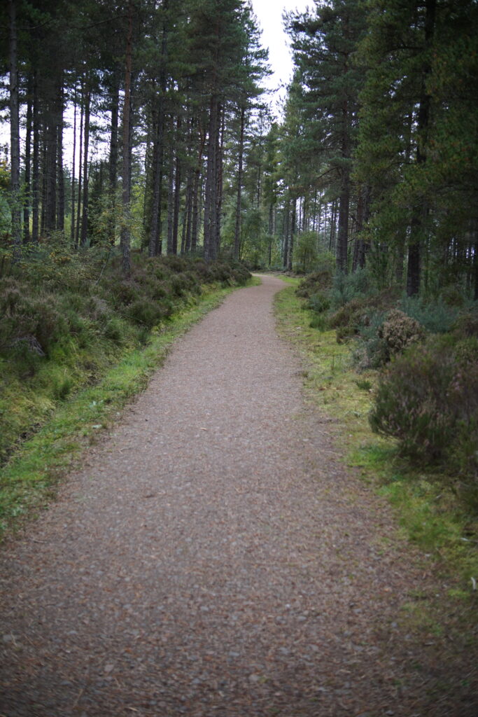
The two slightly tricky points are the barrier at the start of the walk, and the slope up from the pond. The path bends around in an S shape to lessen the incline, but it was still a moderately steep gradient. See the pictures below:
Things to look for
Look out for raspberries and blueberries. We saw lots of mushrooms and pine cones, and a ruined croft.


This was a lovely, gentle forest walk. We all thought that it was a very peaceful place. We particularly enjoyed the area at the bottom bridge, with the shelter and a place to play by the stream.