Exploring Dell Woods: A walk at Nethy Bridge
Nethy Bridge is a delightful village in the Strathspey Valley, and well worth a visit if you are in the area. There is a network of footpaths around the village, and we enjoyed a stroll through Dell Woods and along the river bank. Look out for the fairy village, which delighted our children!
Distance: About 3.3 miles /5.2km for the King’s Road Trail. There are lots of options for shortening the walk if desired.
Parking: There is parking at the Nethy Bridge Visitor Centre, with a suggested donation. If you are coming into the village from the A95, turn right across the bridge, then immediately left beside the river, and you will see the visitor centre on the right hand side of the road.
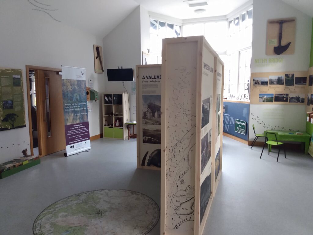
The Visitor Centre is interesting, and has some interactive activities for children. It is open from 9.30am-5pm in the summer, and 10am-4pm in the winter.
Amenities: There is a toilet available at the Visitor Centre, and a shop, cafe and hotel in Nethy Bridge village.
Buggy/bike-friendly? We took an off-road pushchair and a balance bike with us. Much of the route was suitable for off-road pushchairs, but there was a flight of steps at one point and some rather bumpy sections of track. See the ‘terrain’ section below for further details and my suggestions for altering the route if you are bringing a pushchair.
Dell Woods: the route
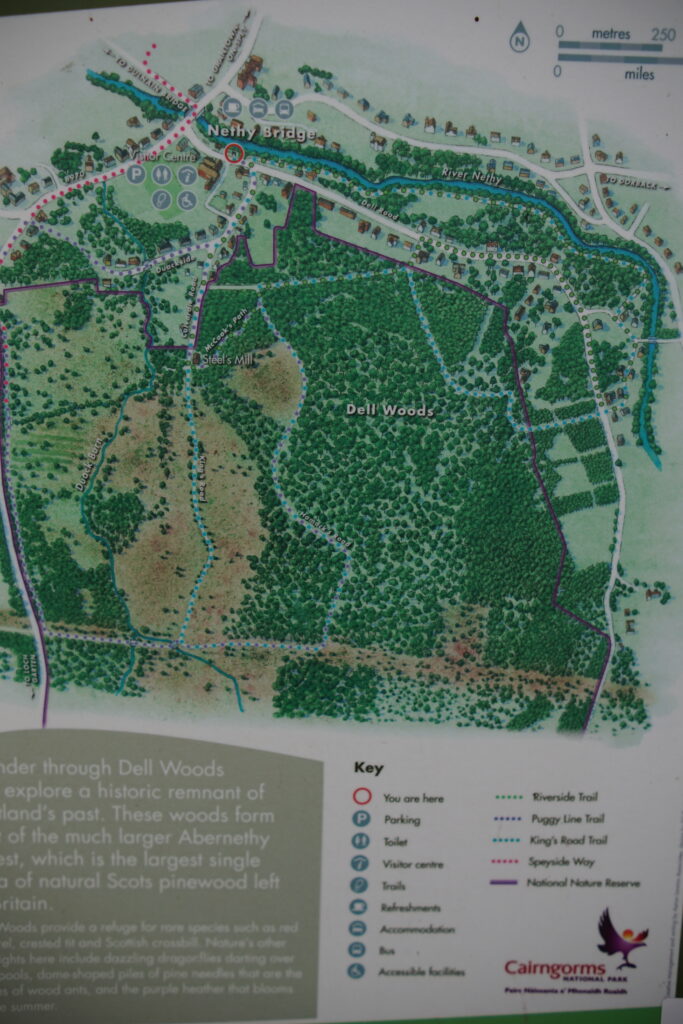
There are quite a few walks around Nethy Bridge, and I found the leaflets produced by Explore Abernethy and Nature Scot very helpful when planning our walk. If you would like to print a map to take with you (which I would recommend in this case!), then I found the Nature Scot map much easier to follow on the ground.
We decided to follow the King’s Road Trail, as we hoped it would be suitable for pushchairs. I would highly recommend following the route in a clockwise direction, starting along the river (unlike us!) as the turquoise waymarkers are pointing in this direction, and will be much easier to spot.
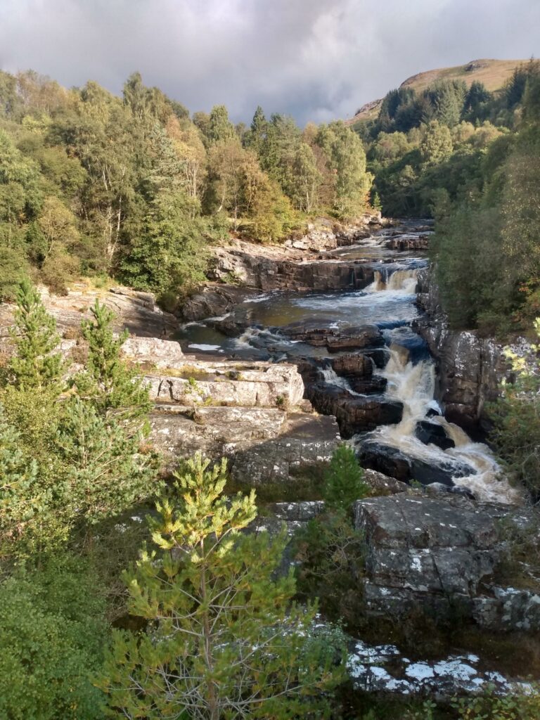
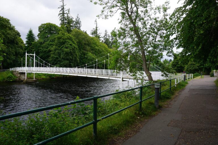
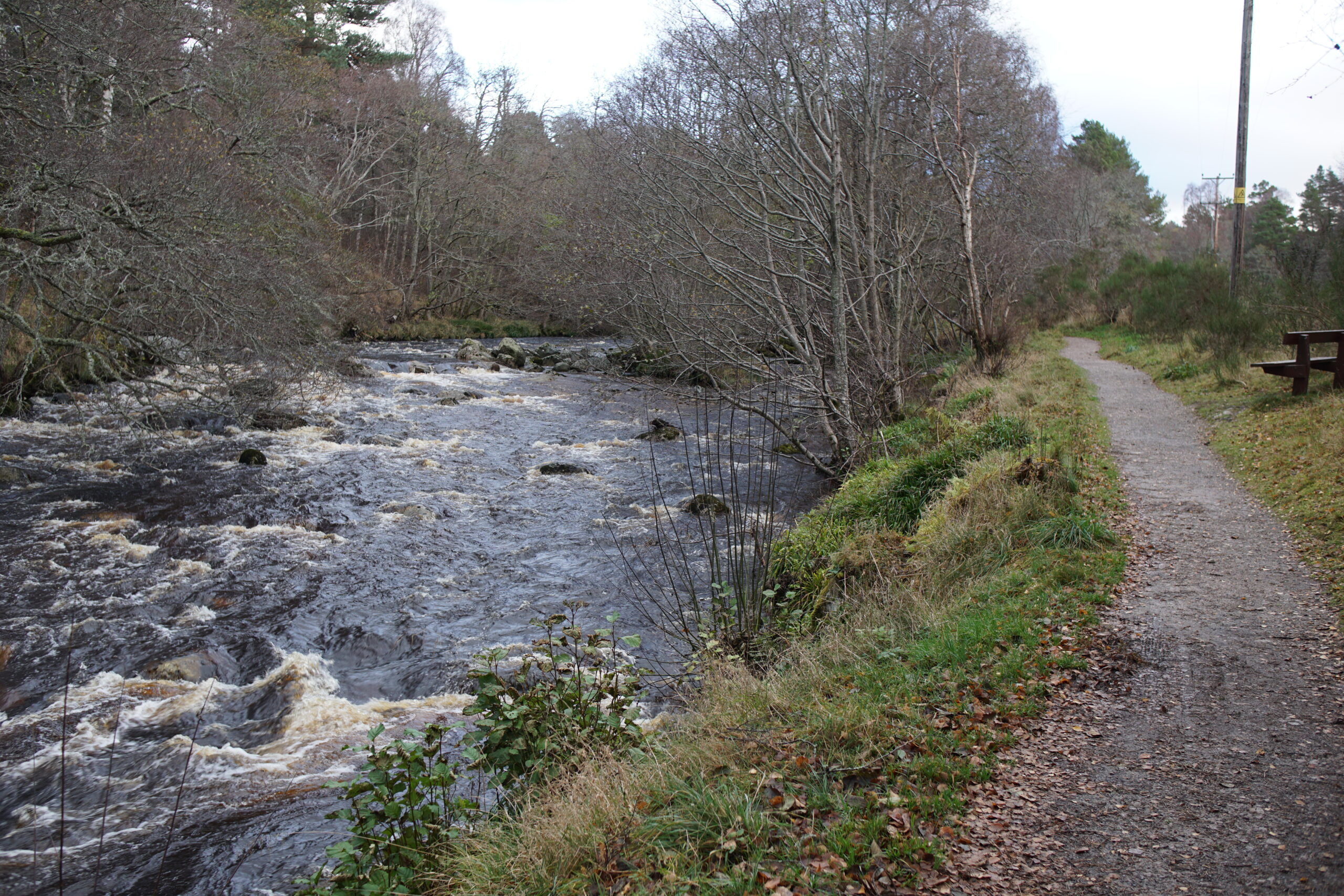
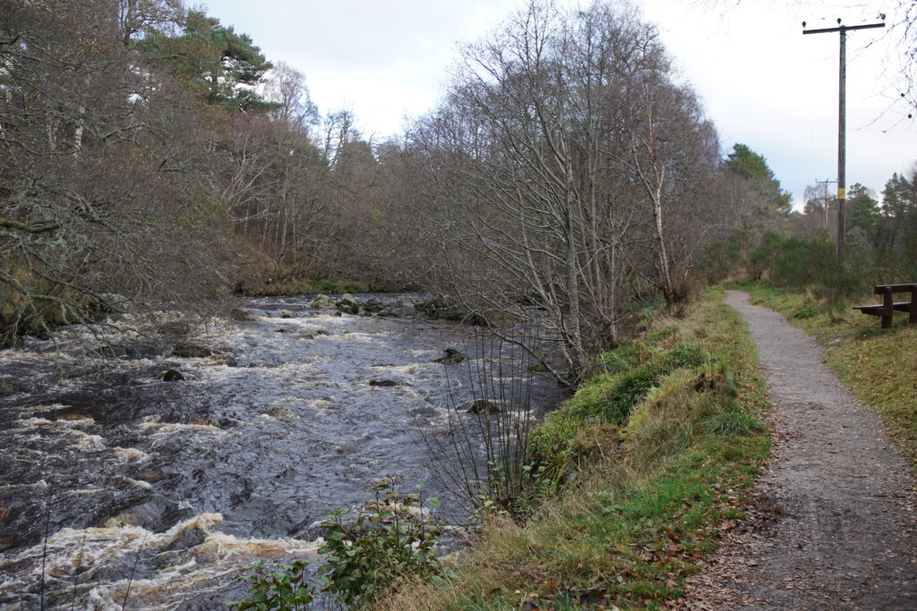
1. Standing outside the Visitor Centre, cross the road and take the path to the right along the river bank. When we visited, the river was running fast, but I imagine it is more mellow in the summer.
2. After some time, follow the path as it moves away from the river through woodland, and meets a single track road. Turn left, and follow the road with cottages on either side. Don’t take the footbridge over the river when you reach it, instead continue along the road.
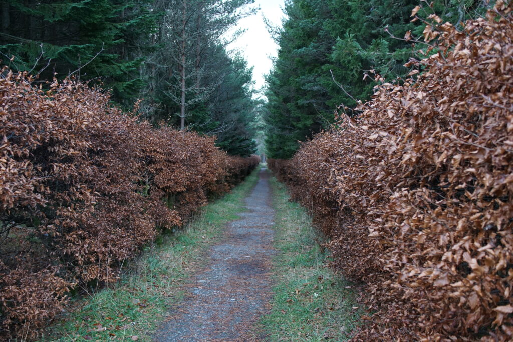
3. Cross the main village road, and head down a straight path between some very venerable beech hedges. I suspect (but am not sure!) that this was the original entrance to the tree nursery which was here for many years.
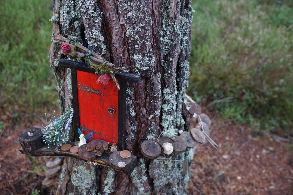
4. At the end of the beech hedge, continue straight into the woodland. The flight of steps down is at this point, it is possible to avoid these with a fairly steep slope on the left (further details in the Terrain section). Follow the turquoise marker posts, turning first right, and later left. It is here that you will find the Fairy Village, with lots of little doors and houses on various trees near the path. Our children absolutely loved looking at these.
5. You will come to a polytunnel on your right, and picnic bench on the left. Turn left here into the woods, to join the main NNR route.
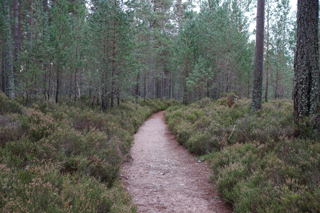
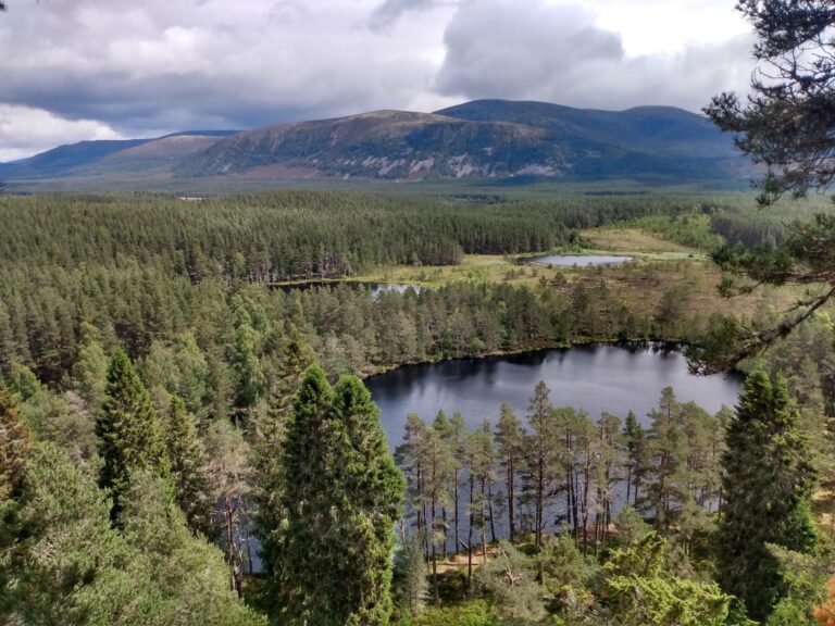
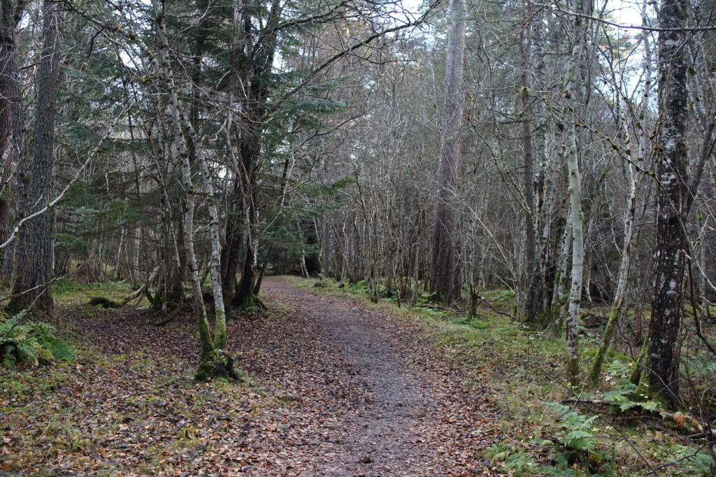
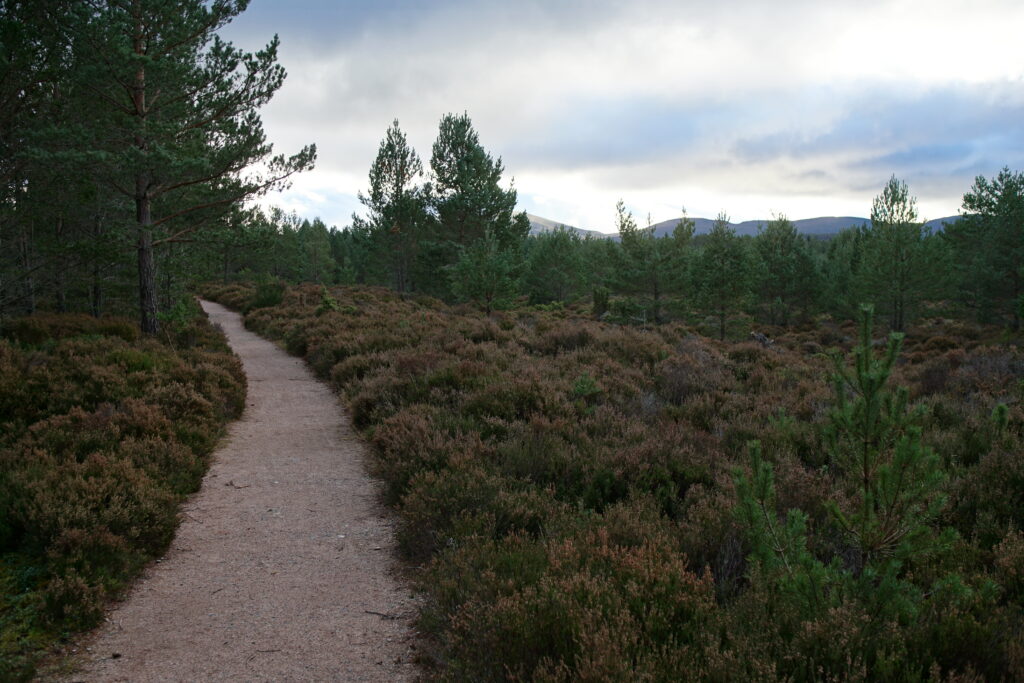
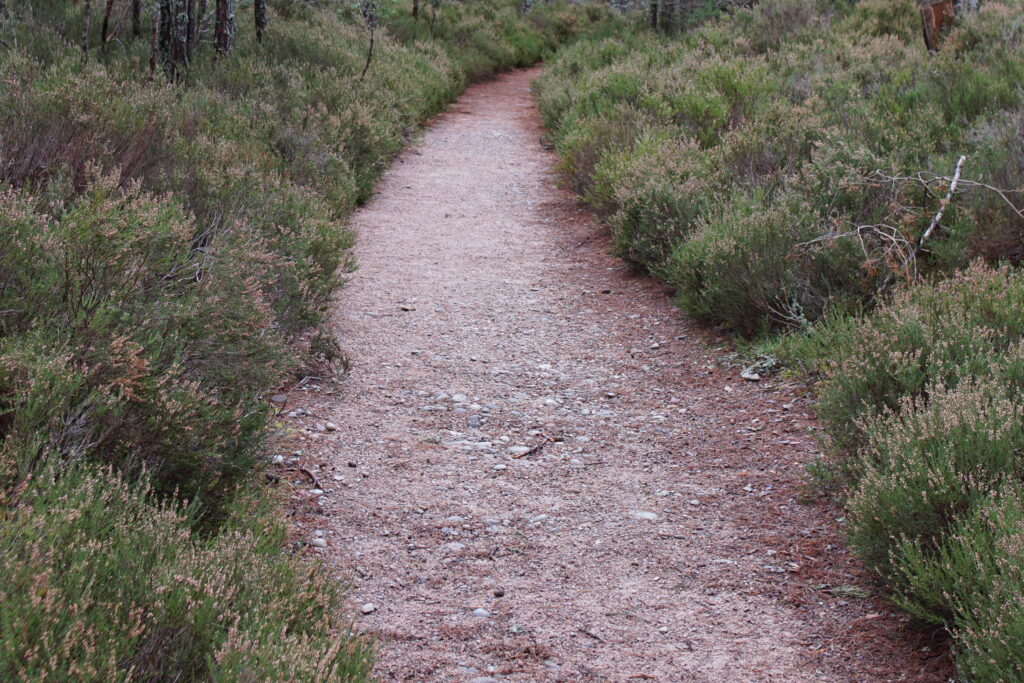
6. The route meanders through woodland, with heather, blaeberries and some impressive lichen. Later on, there are some views of the mountains. Stick to the main path, turning right, and then right again by the Duack Burn. You are now on the King’s Road
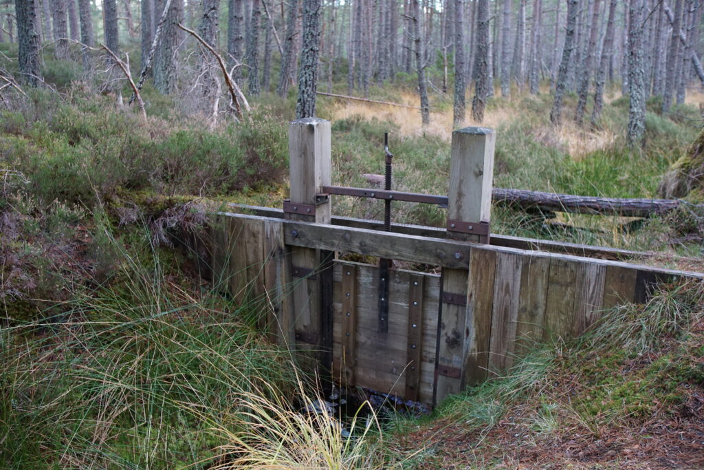
7. Near the Duack Burn there is a hand cut channel, which diverted water to power a nearby sawmill in Victorian times. It is quite an impressive feat, given that it was constructed by hand. There are some interesting information boards about the lade and the mill.
The King’s Road becomes Culvardie Road which takes you back to the village.
Overall, this was an enjoyable wee walk with some interesting things to look at, especially the Fairy Village (our children loved this) and the lade for the sawmill. The forest section was typical of the area, and there weren’t many views because of the tree coverage. The local community group have put a lot of effort into maintaining and signposting the walks, and we really appreciated their work, the woods are clearly very loved!
Dell Woods: what is the terrain like?
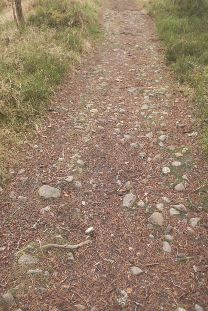
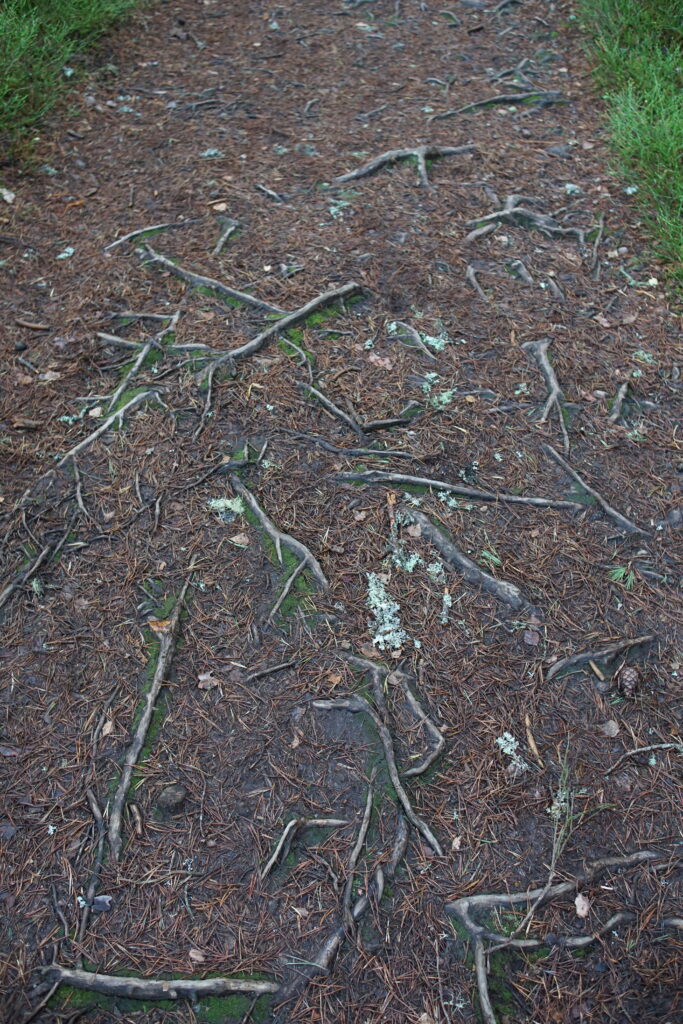
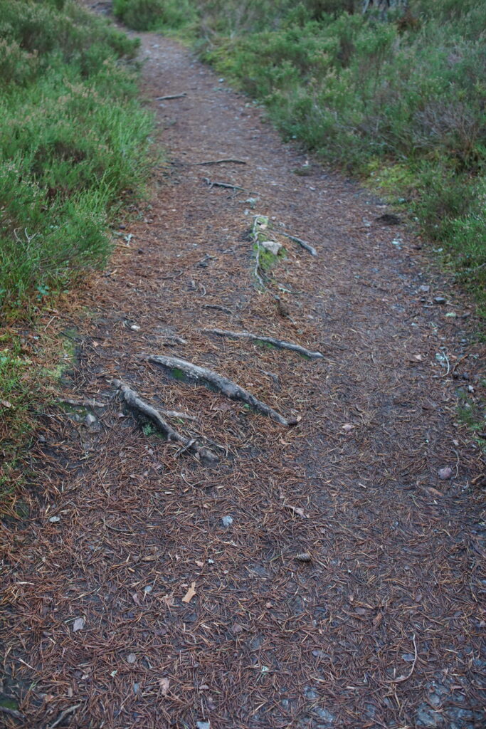
Most of the walk is on wide level paths and very suitable for off-road pushchairs. The section between Dell Road and the Fairy Village (Step 4 above) was challenging with a pushchair, due to bumpy terrain underfoot, and one flight of steps:
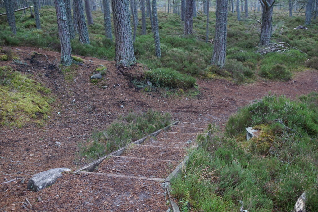
We did manage the steps with a pushchair but I wouldn’t recommend it! As an alternative, you could skip the river section and begin the walk along Dell Road, taking the green-marked cut through between two houses on the right hand side. Alternatively, start your walk along Culvardie Road, and do the Fairy Village as an out-and-back extension at the beginning or end.
The rest of the walk was great with a pushchair, with nice wide level paths.
Things to look out for
Blaeberries and raspberries in season, and lots of lichen and moss! We really enjoyed the Fairy Village in Dell Woods, and looking at the ‘lade’ or artificial stream which used to divert water from the Duack Burn to power the local sawmill.


If you are looking for buggy-friendly walks in the Cairngorms, you may also enjoy these other routes.