Cycling the Speyside Way with children
We recently did a mini family cycle-tour on part of the Speyside Way. Our route was approximately 45 miles over 3 days, following the Speyside Way route from Newtonmore to just beyond Aviemore and back. Would I recommend this route for a multi-day cycle ride with children? Yes, but with some caveats!
Overall verdict
A fun shortish off-road cycle tour in a beautiful place, but the ups and downs, especially on rough tracks, made it harder going than I expected.
Pros:
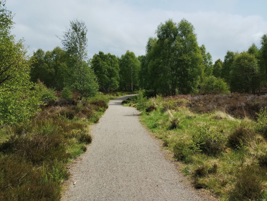
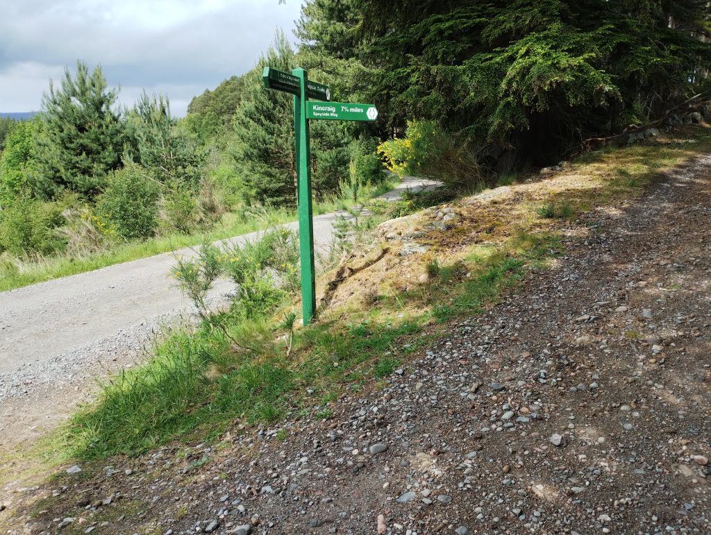
- From Ruthven Barracks onwards, the route is almost entirely off-road (or extremely quiet hamlet tracks) except for Aviemore, and it is well signposted.
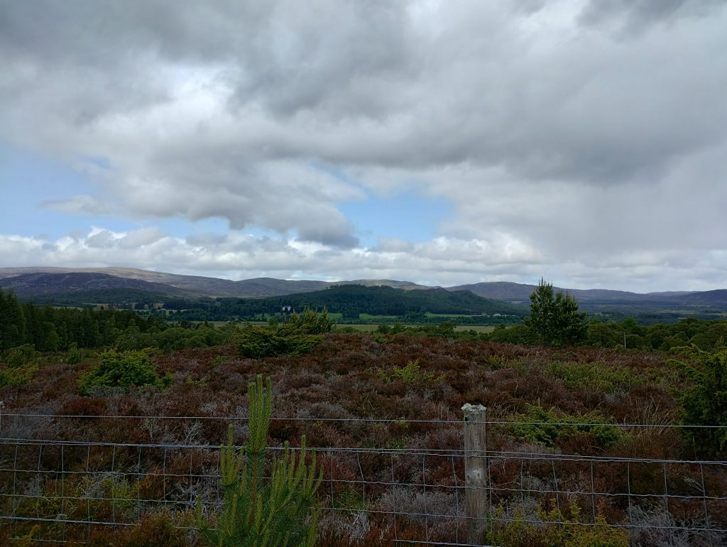
- The surrounding countryside is beautiful.
- There is an excellent campsite just beside the route at a suitable break point.
- We saw and heard lots of interesting wildlife (rabbits, curlews, a meadow pipit)
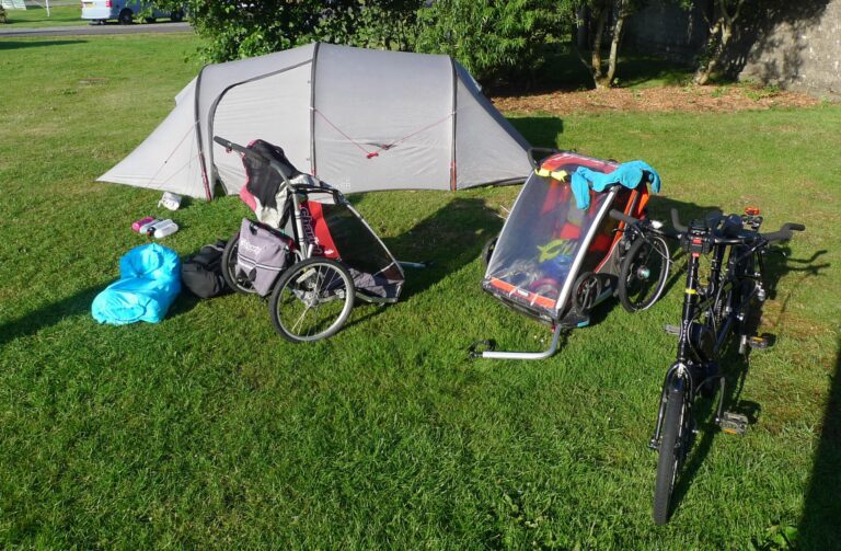
- We were able to cycle this whole section of the Speyside Way with bike trailers without getting stuck in barriers.
Cons:
- The route does not connect well through Kingussie and Aviemore, and it was quite stressful transiting with small children on bikes, and bikes with trailers, particularly through Aviemore.
- Some of the terrain is rougher than I had hoped, really into more mountain-bike territory.
- The path is pretty undulating, such that there is quite a lot of climbing over the course of each day. Some short sections of ascent were challenging with a heavily loaded bike and trailer.
Speyside Way route guide
In this section of the post I’ve written up some more detailed notes on the path, together with photographs, so that you can get an idea of the terrain, and whether it is a route that would be suitable for your family. We were travelling with young children on their own bicycles, and two bike trailers (one for toddlers, one for luggage).
Distance
Day 1 Newtonmore to Dalraddy: 16 miles (but 1000ft of total ascent!)
Day 2 Dalraddy to north of Aviemore and back: 11 miles (we had intended to go up to Boat of Garten which would extend this day to 19 miles.
Day 3: Dalraddy to Newtonmore: 16 miles
Parking for the Speyside Way
Parking arrangements are a little tricky. We had always planned to move the car and park it elsewhere for a couple of days, but had hope we could unload children and gear at the Folk Museum car park, just before where the route begins. I am a big fan of the Folk Museum and would highly recommend a visit, but they were cautious about us unloading there in the (large, empty) carpark, which is fair enough….we weren’t actually planning to visit on this occasion. We had to cross the A-road twice to access a pavement on the other side, and then get back to the beginning of the cycle path.
On the way back we used the layby opposite the driveway to the Folk Museum conference/archive building (Am Fasgadh) at roughly OS coordinates NN729999. It is safe to wait down on the cycle path, but the road is fast moving, so we put all the kids straight in the car once it arrived rather than letting them help with loading. It is a curious and frustrating feature of British cycle planning that you would design a family-friendly cycle path that begins…right next to a 60mph A-road with no car parking, and needing to cross the road to access continued pavement into the village.
Newtonmore to Kingussie
Once you are on the cycle path however, it is lovely! Wide smooth tarmac all the way to the beginning of Kingussie village. You then need to navigate through the village, which was a little stressful, but not insurmountably so. The path emerges onto the A86 before the village. There was no indication that the pavement was a joint cycle-path, but we weren’t about to put the children on the A-road, so we hoped it was, and kept them on the wide, deserted pavement into the village. If possible it is better to keep children on the right-hand pavement, dismounting where necessary, so that you can regroup on the corner by the turn onto Station Road (B970).
Here, everyone needs to go on the road, but it goes past both the primary school and secondary school, and is well traffic calmed, so that felt quite manageable.
On the way out of Kingussie village, there is another, longer road section, in order to cover several bridges over the flood plains and get up to Ruthven Barracks. Although the road is fairly quiet and visibility is very good, I did find this one of the more stressful stretches of the route, particularly outbound where we needed to go uphill around a corner to get to the barracks.
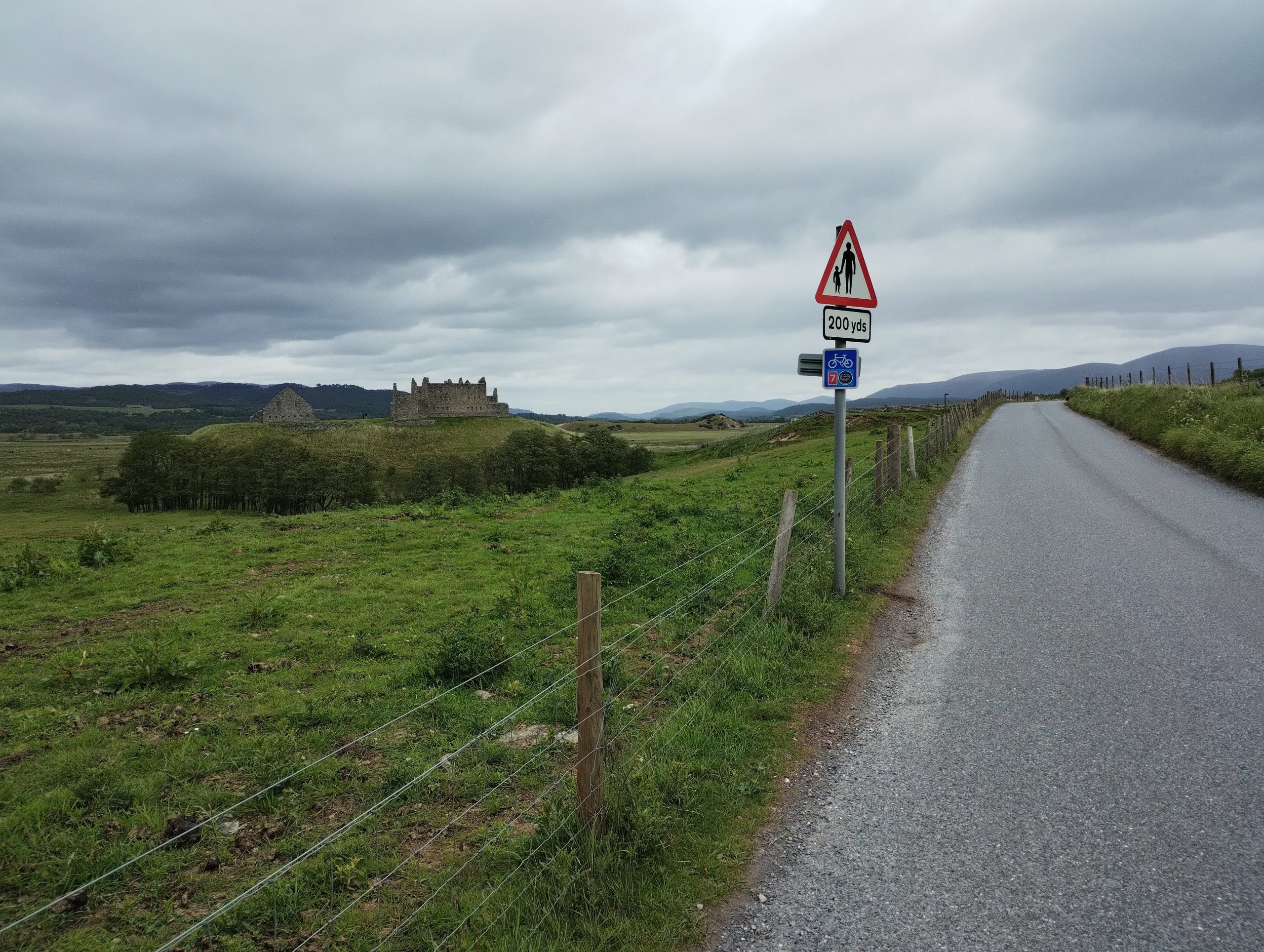
If that doesn’t sound particularly fun, it would be possible to begin your journey at Ruthven Barracks, where there is a medium sized car-park, and the off-road route begins directly above it. I have not investigated what you would do about overnight parking in this scenario.
Kingussie to Kincraig
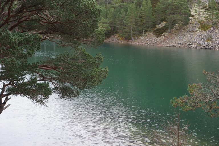
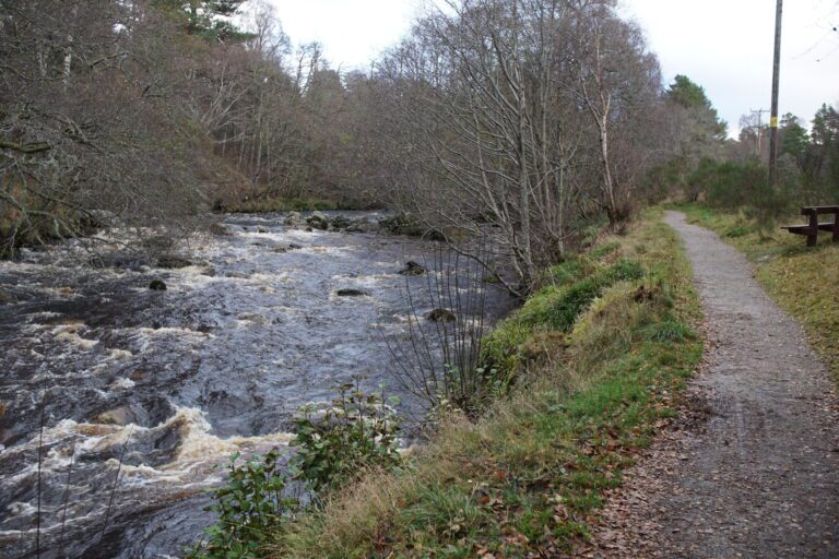
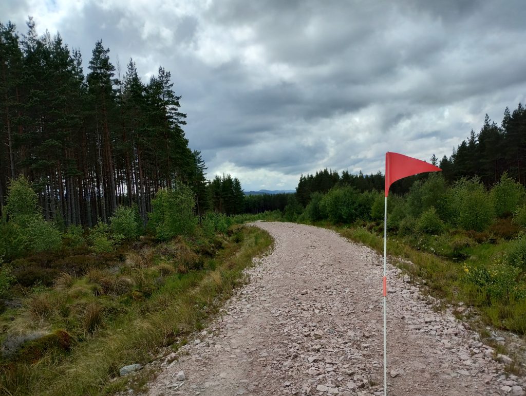
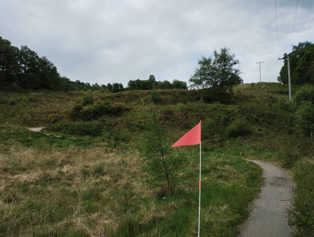
From Ruthven Barracks, the route is an off-road path, of mostly very good quality. You need to negotiate one road-crossing, but that was well signed. Most of this section runs through the edge of the Insh Marshes RSPB reserve, which we had not explored before. By Ruthven Barracks itself you may well see and hear curlews. On the reserve we saw a meadow pipit, and heard a willow warbler.
After Tromie Mills, things started to get more challenging! We had to negotiate a steep uphill section on rubble, and then the route continued to climb, mostly through woodland, and often on quite rubbly terrain, towards Insh. There were some short stretches of tarmac through very quiet hamlets.
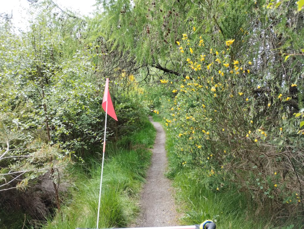
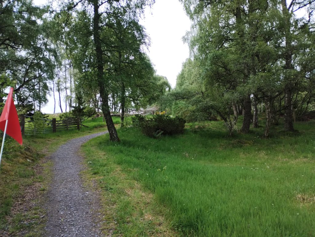
The last section before Insh was quite narrow and overgrown, more of a footpath really. It was doable with a bike trailer, but I was glad it wasn’t a long section. This was the only section of this nature that we encountered.
The climb through the Uath Lochans woods up to Farleitter Crags was very very hard going. It’s about 100m of ascent over the course of a mile, or roughly 5% average gradient, which would be manageable even with the trailers, except that it’s on very rough rubble. We walked most of it. (Coming back the other way was SO much better!)
I made a navigational error up on the top of Farleitter Crags. I intentionally ignored a Speyside Way signpost at OS NH829023, because I was concerned that it was going to take us up and over the summit of Farleitter Crags, which was not a route I wanted to cycle down as it is far too exposed. However, the Speyside Way actually leaves the summit path a few yards later, turning right, which is a good bike route down (although at the time of travel there was a fallen tree!), and would have been better the northward loop we did.
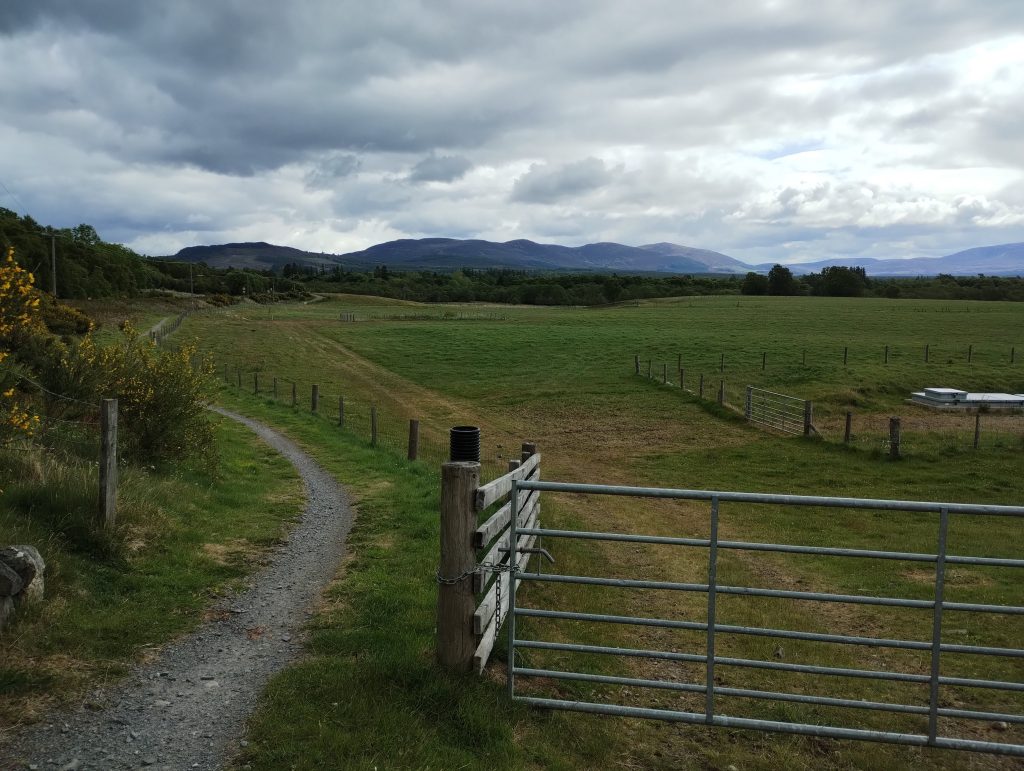
From the Uath Lochans car-park, the route is straightforward, up the track to the road, and then following good quality cycle paths through the woods. I was concerned about the short on-road section by Loch Insh, as it’s a narrow road and can be busy with cars for the water sports centre in the summer. Outbound, we sent the children on the off-road route which runs above the road, and we came down the road, which worked ok, though their route was a bit slower.
From the point that the path rejoins the road, there is an off-road route all the way to the bridge, which was much better than I expected. There is good visibility in both directions at the point you cross the car bridge, so that it felt quite manageable.
Kincraig to Dalraddy campsite
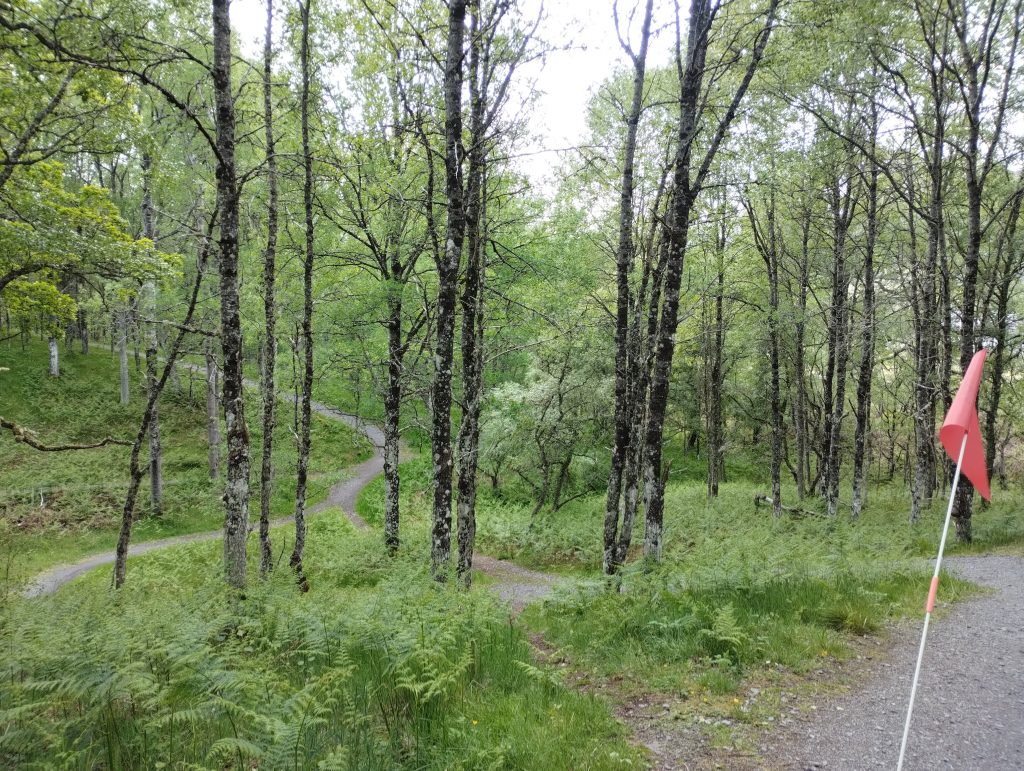
Traversing Kincraig was absolutely fine, you are immediately directed onto a quiet back road. The Speyside Way then goes through the woods to Speybank. I found this brutally hard at the end of a long day, the path is very undulating, and there were two or three short hills where I needed someone to push on the back of the trailer to help me get up!
The last section after the woods runs alongside the train-line on a very good path down to the turning to Dalraddy campsite (you turn left under a railway bridge). We had a very good experience at Dalraddy. It was quiet, the bathrooms were warm and clean, there was a lovely playground and bike track, and best of all, two food vans with hotdogs for the kids, and a Thai meal for the parents! I imagine it could get very busy in school holidays.
Dalraddy campsite to Aviemore and beyond
The next day we set off to continue further along the bike path into Aviemore. This was a challenging section, and I was glad to have less weight, as we’d left the camping gear at the campsite. I’m sure it would be absolutely fine with just a bike, but with trailers it was difficult. There were some very steep hills on loose grit, and in some ways the downs were worse than the ups. I needed to walk quite a few, and with the bike brakes locked on, the trailer would try to skid out to the side. We took it slowly and took the widest loops possible.
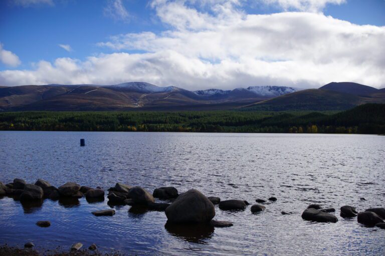
Closer to Aviemore, things got easier and there were some lovely views up into the Cairngorms!
You do need to cross the B9152 to access the cycle path up to the village itself. It is a fast road, but the visibility at the crossing was good, and plenty of space to line up ready to cross.
Navigating Aviemore itself was awful, worse than I expected. The main road is busy, and not very wide, and the cycle infrastructure completely died away at the mini-roundabout at the entrance to the village.
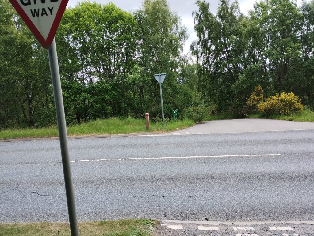
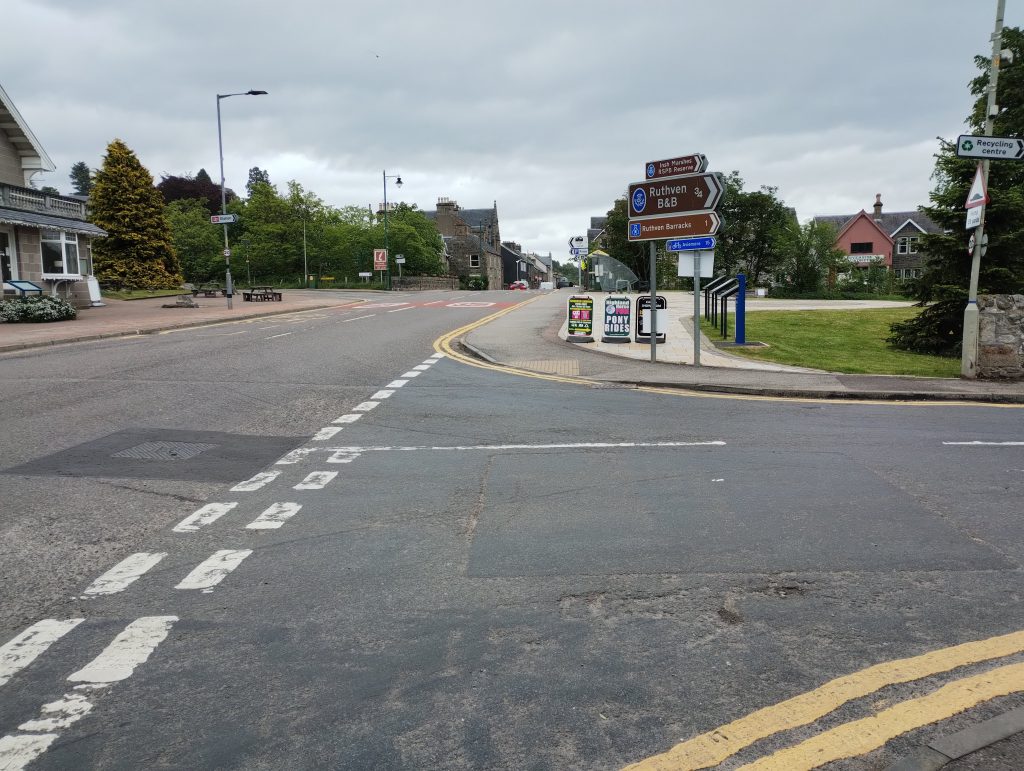
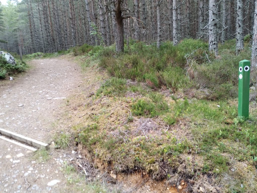
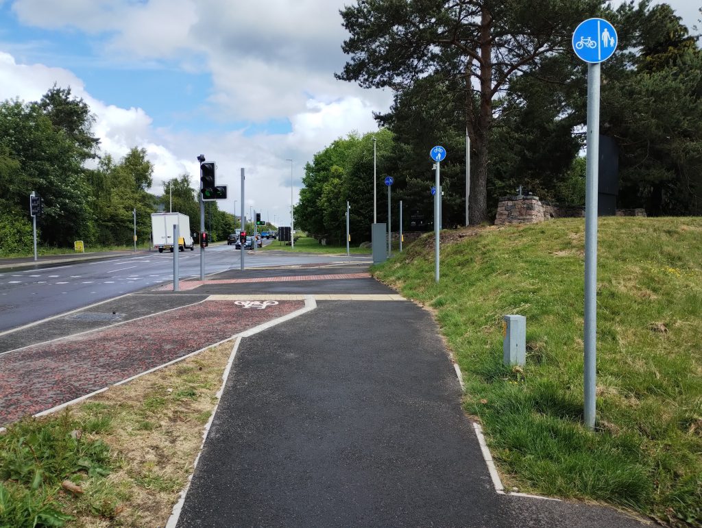
We walked a good chunk through the middle of Aviemore on the pavements, as we needed to get to the shops to top up on food. This would not be easy in peak season when Aviemore is extremely crowded. At the far north end of the village, we encountered this mysterious cycle-friendly junction (pictured) with red tarmac leading nowhere, which just felt like a taunt. It is such a problem with British cycle-infrastructure that local authorities build it precisely where you don’t need it, because it is too difficult to incorporate it into busy town/village centres where you do really need it.
If we did this route again, I would turn right before the village at the B9152 mini-roundabout, and take the children through the back streets on the east side of the Aviemore railway line, coming out of the industrial route at the north of Aviemore to rejoin the Speyside Way. I think this would have been far less stressful, and had forgotten that it was an option.
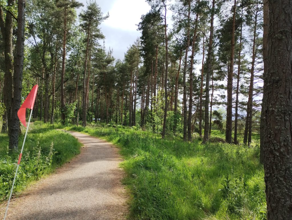
Once out of the north of Aviemore, the route reverts to good quality bike track, though with some short steeper sections, such as this downhill to the tunnel. We had intended to press on all the way to Boat of Garten, but it had taken so long to get through Aviemore that we decided to cut Day 2 short and return to the campsite. The route to Boat of Garten is very pleasant and I have written about it previously.
On Day 3 we packed up camp and cycled back from Dalraddy to Newtonmore. This felt easier than Day 1, as is often the case with return trips. In particular, the section around Uath Lochans/Farleitter Crags felt easier to negotiate southbound, with a short steep uphill, and then a long descent on the rubble forestry track.
Overall, I’m really pleased with the trip. It’s difficult to find long-distance off-road routes in the UK, and getting 3 days largely off-road was fantastic for the children being able to ride independently. We also felt that this ride helped us to connect up the geography of a number of our favourite places in the Cairngorms. Insh Marshes RSPB reserve was a new discovery for us, and somewhere we would like to return.