Mount Eagle – A buggy friendly walk on the Black Isle
Mount Eagle is the highest point on the Black Isle, and home to a transmitter mast that can be seen for miles around. The actual summit cairn is difficult to access, but the surrounding wood contains some lovely well made forestry tracks, and views down over the rest of the Black Isle. Here is a suggestion for a short walk through Millbuie Woods which is suitable for pushchairs. The track carries on much further and could also be a good option for a family bike ride.
Distance: 3 miles / 5km return. The forest is extensive, and there is scope for much longer walks if preferred.
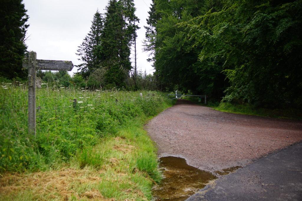
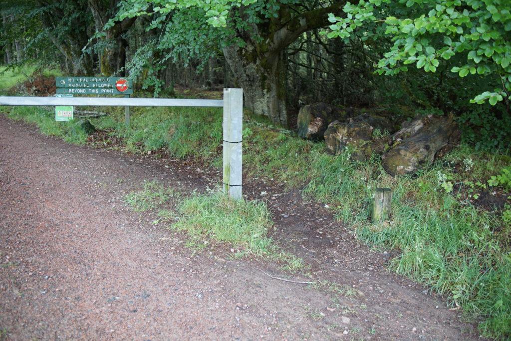
Parking: Coming from Munlochy, cross over the A832 and take the minor road signed to Culbokie. Follow this road uphill for just over 3 miles, until you are just below the transmitter mast. There is a junction here, with the forest path on the right, and a small car park on the left with space for 3-4 cars. Please park considerately; if the car park is full, there is a lay-by about half a mile back by the Belmaduthy Dam Nature Reserve.
Amenities: there are no toilets or other amenities on this walk.
Buggy/Bike friendly? We took an all terrain double buggy (a Mountain Buggy Duet) with us on this walk, and thought it was an excellent track for buggies and bikes. Our frustration was that we were hoping to do a loop, and our planned route up to the north was a very overgrown footpath rather than a forest track as shown on the map. More on that later.
Mount Eagle family walk: the route
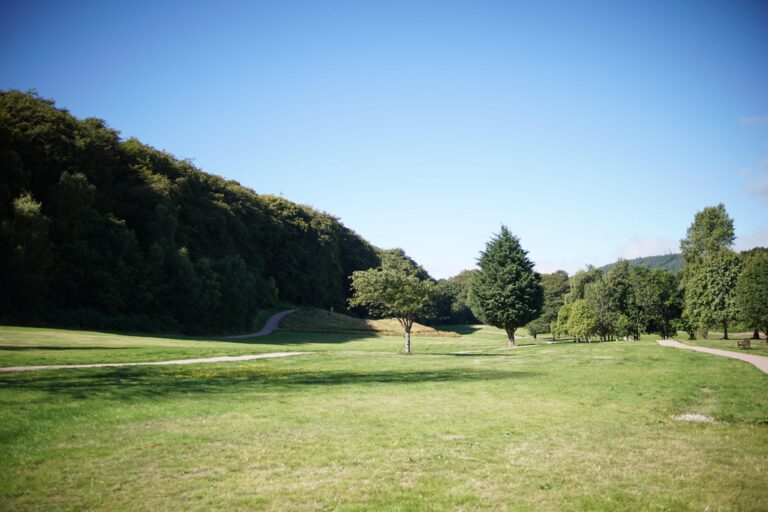
1. From the car parking area, cross the road and set off up the forestry track on the other side, signed as a cycle route to Learnie and Cromarty. There is a barrier, but we had no issues getting around this with our buggy.
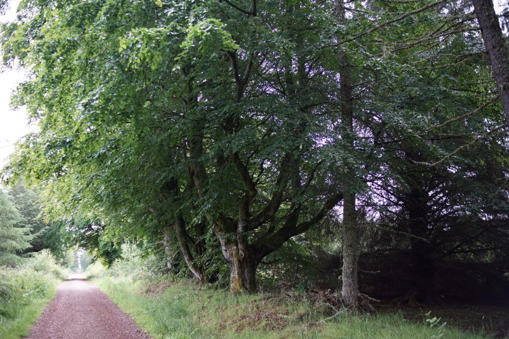
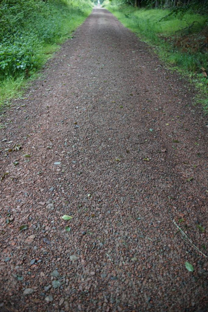
2. Follow the straight track as it goes gently uphill, passing some beautiful old beech trees on your right.
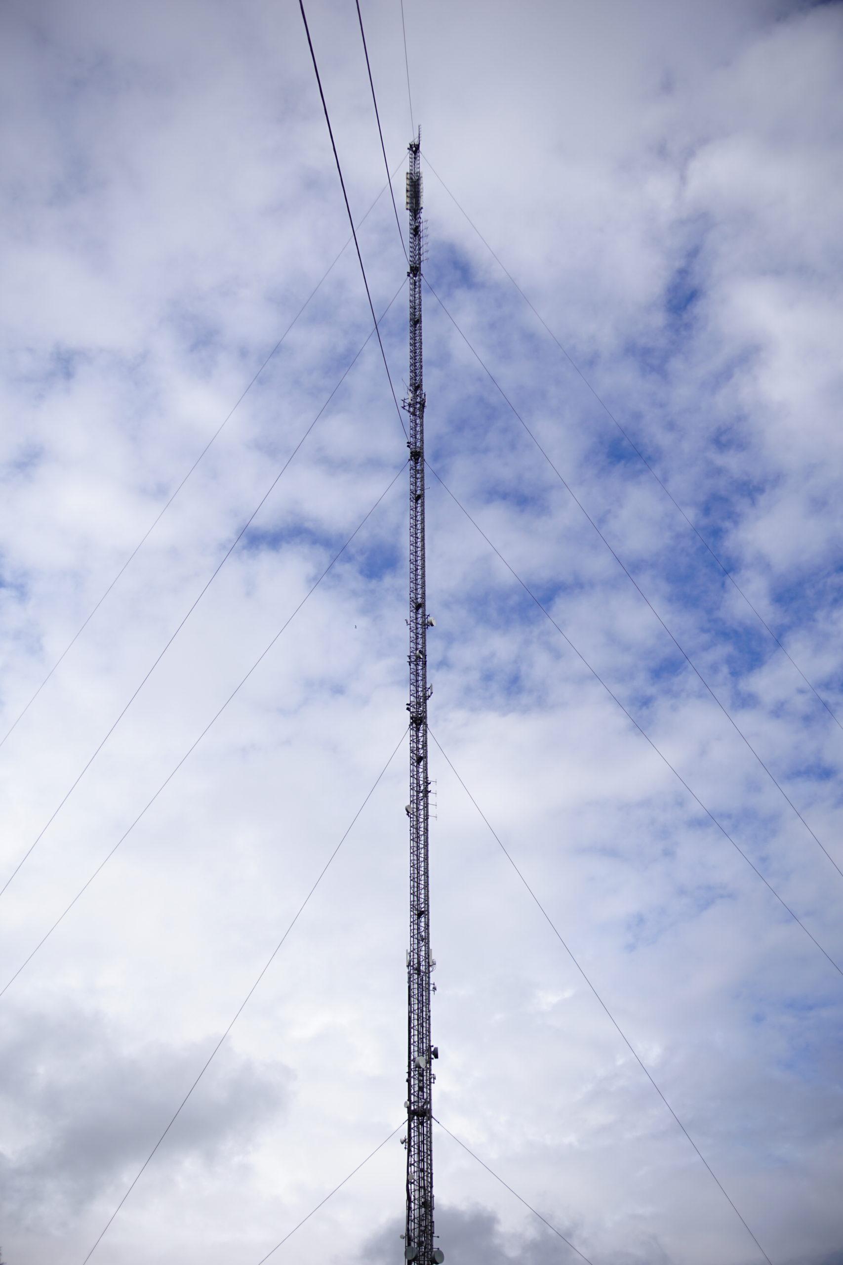
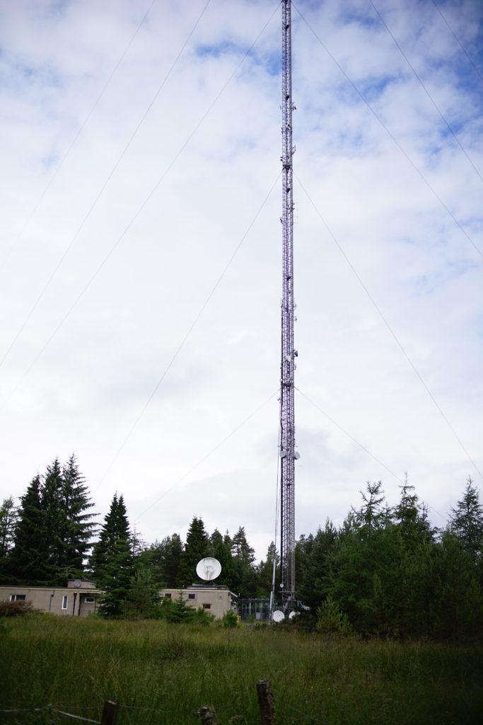
3. On your left, you will pass the Mount Eagle transmitter station, which was built in 1961 and covers a large area around the Moray Firth. It is 800ft tall, and you can see some of the guy lines close to on the other side of the path, which is quite interesting.
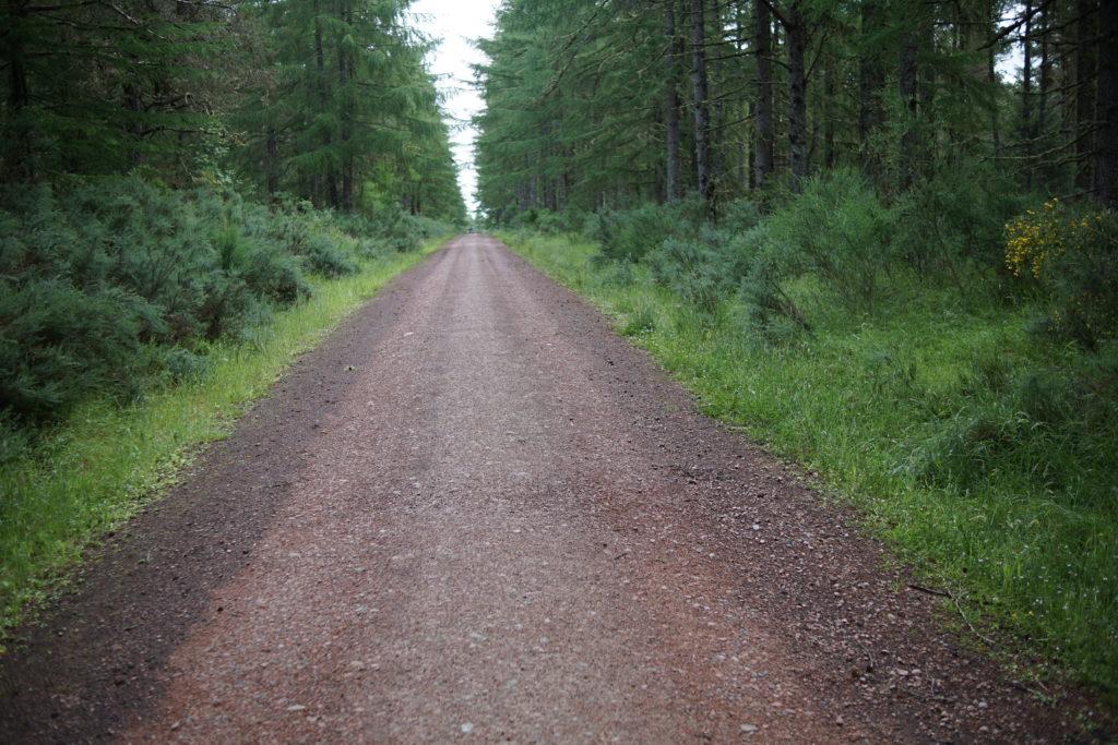
4. Continue along the forestry track, passing a tracking turning off to the left, and then continuing gently down hill.
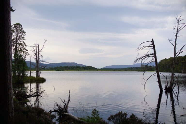
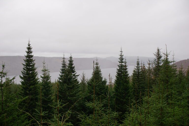
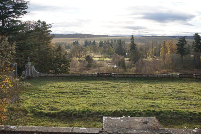
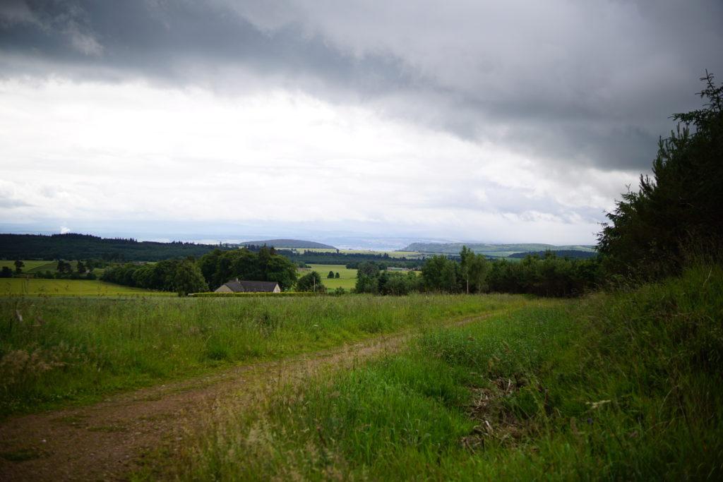
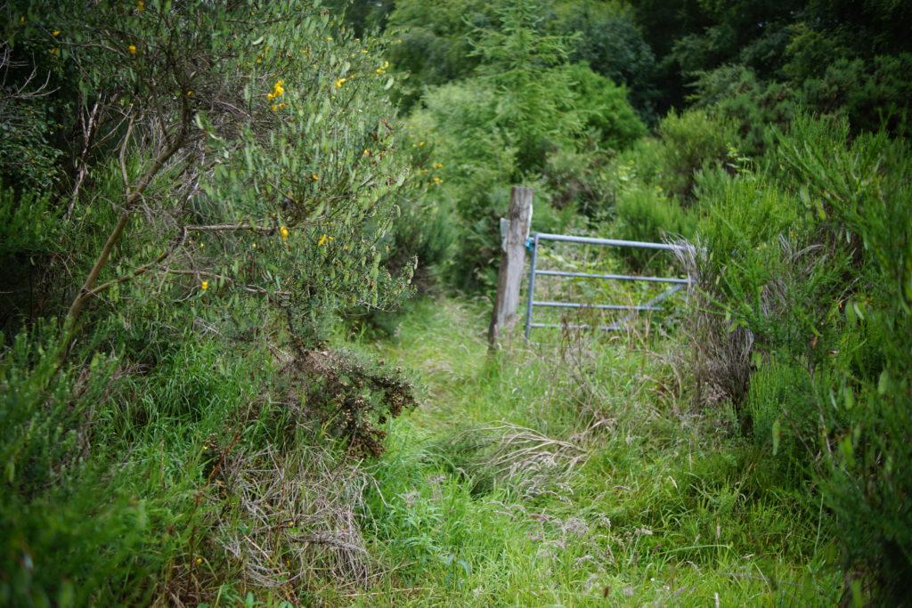
5. After a mile or so you will arrive at the junction above Wester Strath, with lovely views down over the Black Isle to the Moray Firth. The main forestry track bends gently to the left, and you can continue further along this way if you wish. There is a track heading more steeply to the left here, roughly North-Northwest, which is shown as a forestry track on OS Maps. In reality we found it to be a very overgrown footpath in the summer time, it might be more passable in winter, but it wasn’t practical with a buggy. We therefore retraced our steps back the way we had come to the transmitter mast.
What is the terrain like?
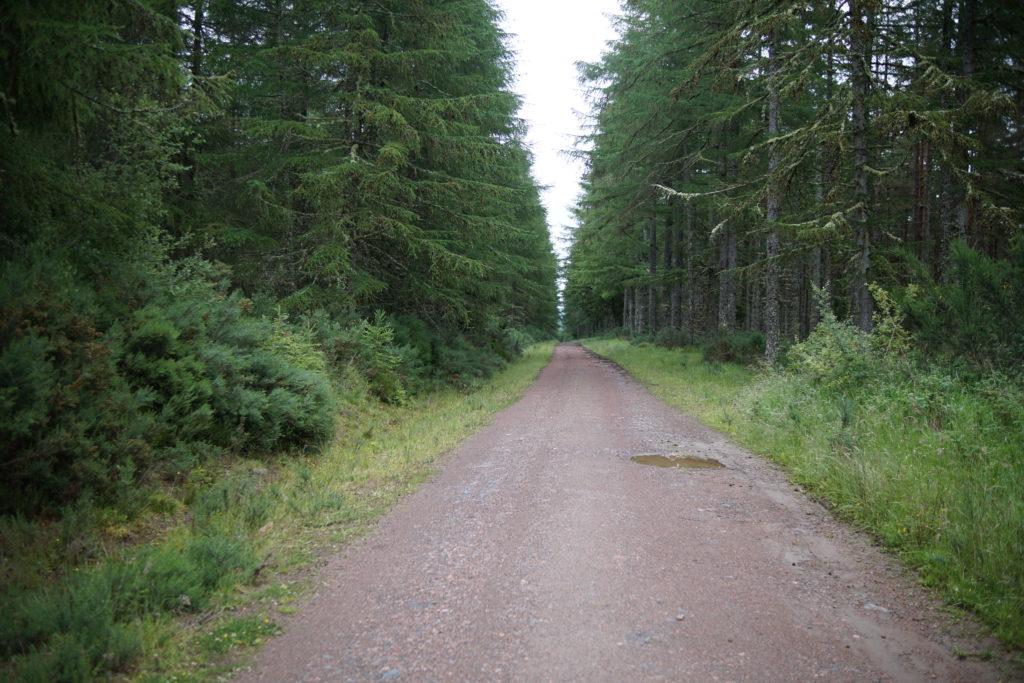
The path is a high quality forestry track. There is a vehicle barrier at the start of the walk, but we were easily able to negotiate our way round this with a double buggy. I think that most bike trailers would also fit through the gap. The path is wide and there are no steep slopes.
As mentioned above, we had been hoping to take the track heading North-Northwest from Wester Strath, in order to turn the walk into a circuit, but this was actually a heavily overgrown footpath.
Things to look out for:
Look out for ancient beech trees, orchids, the Mount Eagle transmitter station, wild raspberries, and lots of bird life. We saw and/or heard yellowhammers, chiffchaffs, goldcrests and wrens. There are also quite a number of geocaches in the woods.


We enjoyed seeing the transmitter mast close up, as it is part of the local landscape, and this walk helped us to join up our ‘internal map’ of the area. It isn’t the most exciting route ever, but it was a good quality path and there were lots of plants and birds to enjoy, as well as some geocaching. We’d like to return and try taking the northbound track towards Mount Eagle itself, and see if we could do a loop that way. We’d also like to try exploring the wood with bikes.