Ord Hill: A walk through history on the Black Isle
Ord Hill lies just over the Kessock Bridge to the north of Inverness. It is topped by an ancient hill fort, the pair to the fort atop Craig Phadrig on the other side of the Firth. Both hilltops command great strategic views over the surrounding area, and both forts have evidence of vitrified (burnt) stone work, suggesting a violent past. However, intriguingly, it is thought that they were not inhabited at the same time.
Distance: There are two main circular routes at Ord Hill. The shorter ‘red route’ taking in the Iron Age hill fort is around 1.5 miles / 2.5km. The longer ‘blue route’ around the hill has some good views of the firth, and is around 2.5 miles / 4km.
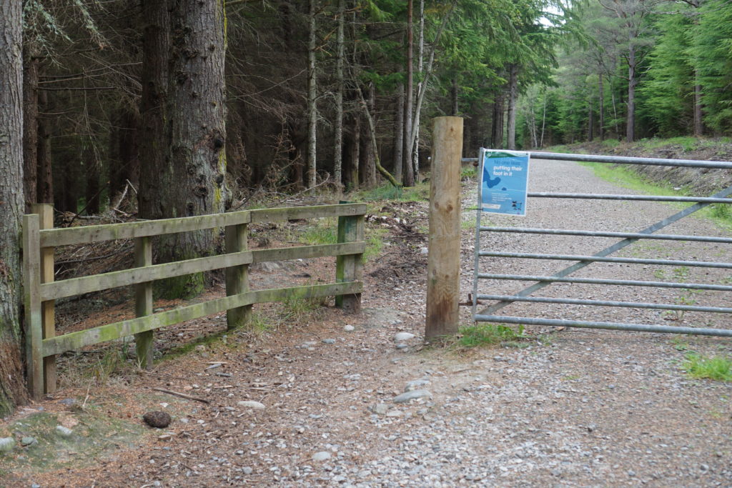
Parking: To reach the main upper car park, if you are coming north up the A9 from the Kessock Bridge, take the second exit on the left signed for North Kessock and Charleston. Turn right at the small roundabout to go under the A9, then take the first left turn, and then a right turn by the old Drumsmittal School, following signs to Kilmuir. Follow a straight single track road for some way until it bends to the left at a junction. Shortly afterwards you will see Ord Hill car park signed on the right.
There is a second, lower car park which is directly off the A9 southbound, just before the Kessock Bridge. This is much lower down, and so you would need to cover some steep slopes to gain access to the higher walking routes from here.
Amenities: There are no toilets or other facilities at the car park.
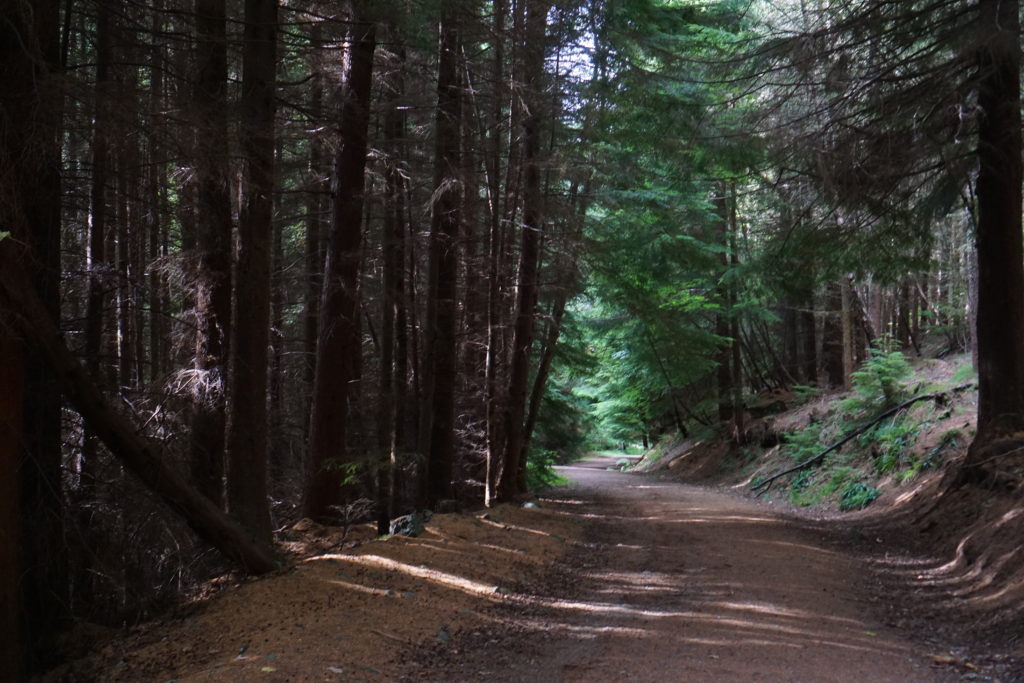
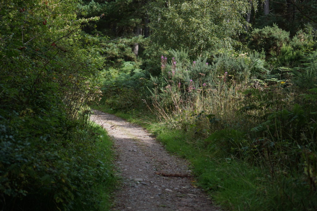
Buggy/bike-friendly? The blue ‘Ord Hill Circular’ route is suitable for off-road prams and balance bikes. The path is nice and wide, but there are quite a number of moderate slopes, so be prepared to push hard in places! I used my pushchair’s wrist strap for safety on the downhills, but was comfortable with the gradient using this. The red ‘Fort Trail’ route is not suitable for wheels, due to a number of steep slopes with steps, and narrow paths.
Ord Hill walking routes
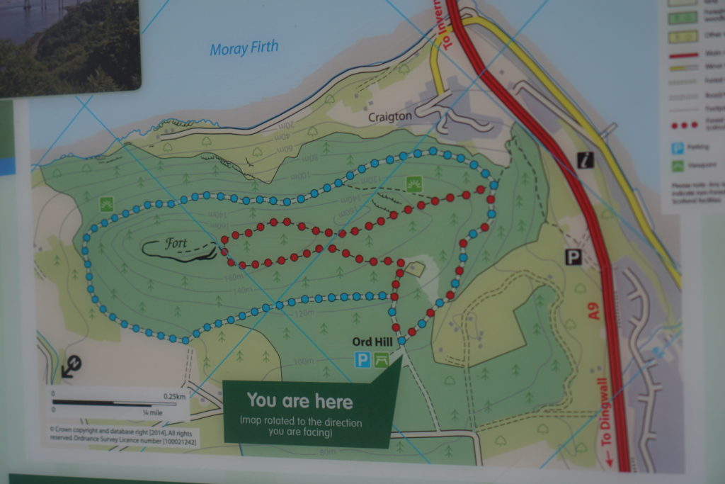
The two routes both loop around the hill, but the red route is higher up. I prefer the red route, as it has the historic interest of the fort, and it has a good unobstructed viewpoint. However it is not suitable for pushchairs. The blue route is suitable for pushchairs, and has some nice views out toward Ben Wyvis on one side and the Moray Firth on the other, but these are all rather hemmed in by trees.
I would recommend tackling both routes in a clockwise direction. Particularly for the blue route, this means that you tackle the dullest kilometre first, and the walk improves from there on in.
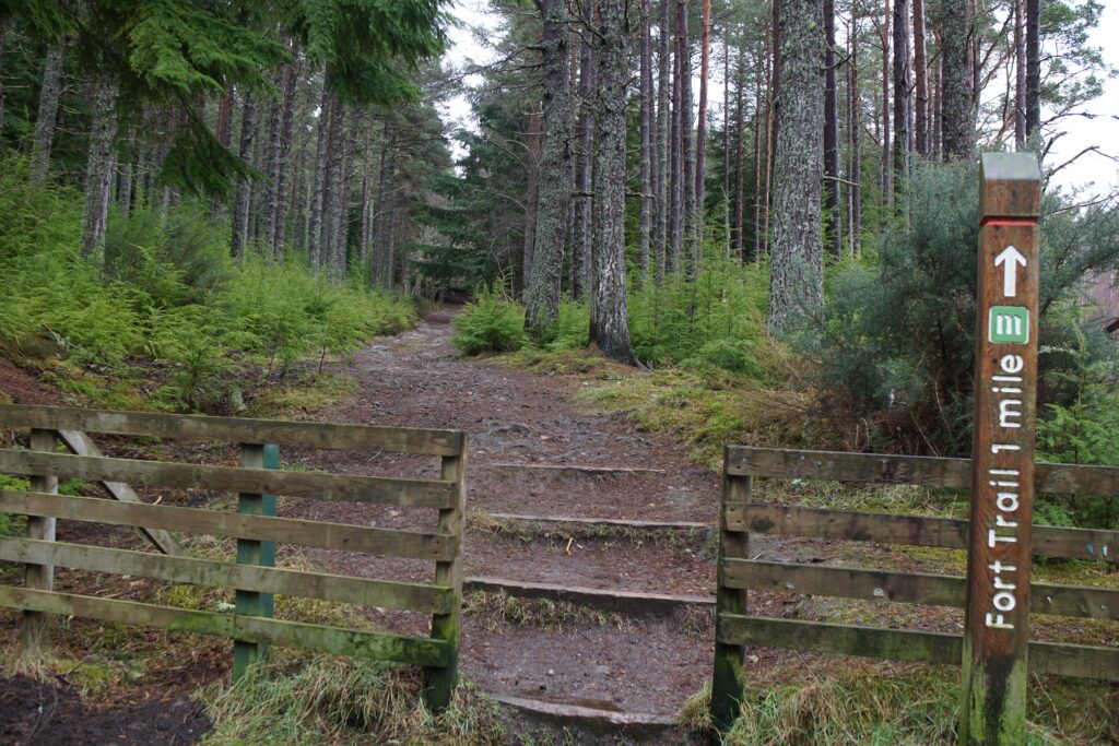
Red Route: The Fort Trail
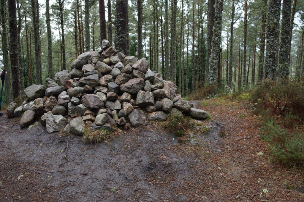
The Fort Trail (red route) heads up onto the main ridge, and then out north-east to the fort. It is worth looking up a picture of vitrified rock before you go, so that you know what to look for when you reach the fort. Basically, it looks like rock that has melted and then solidified again. I haven’t managed to spot it yet!
The fort was inhabited in the Iron Age, and then again in Pictish times. It covered a large area, and there are extensive rubble walls. There is also a satisfyingly large cairn at the summit. The whole area is in woodland, so it is hard to get a sense of the fort as a whole (Craig Phadrig is better for this), and there are no real views up here.
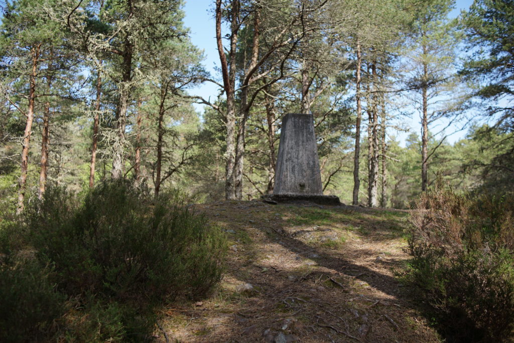
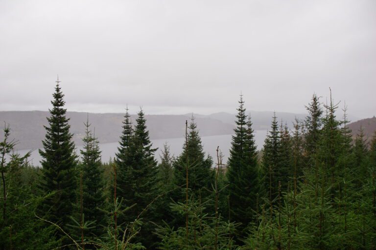
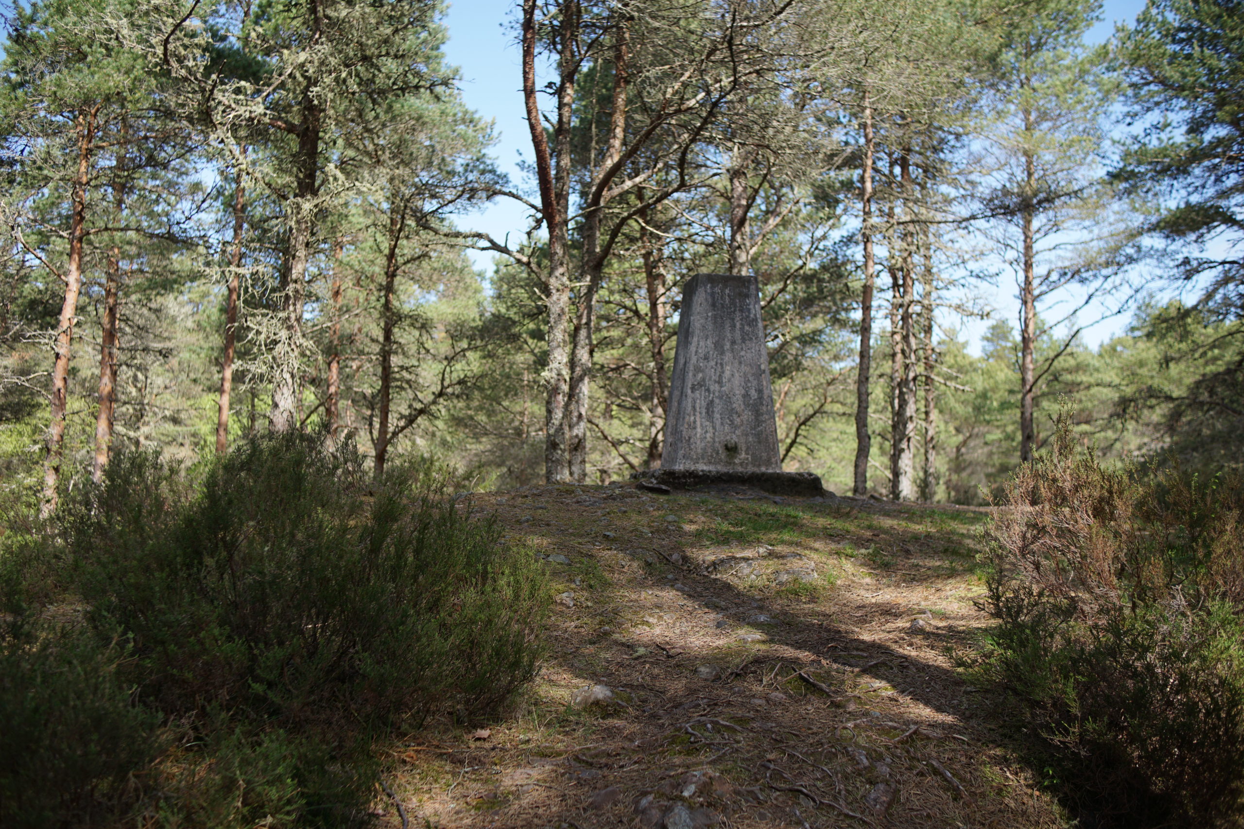
The return route passes the trig point for the top of Ord Hill. Shortly afterwards there is a view point off to the left of the main route with great views out over the water towards the Kessock Bridge and Inverness. The path then winds steeply downhill to join the broader forest track of the blue route, and back to the car park.
Blue route: Ord Hill Circular
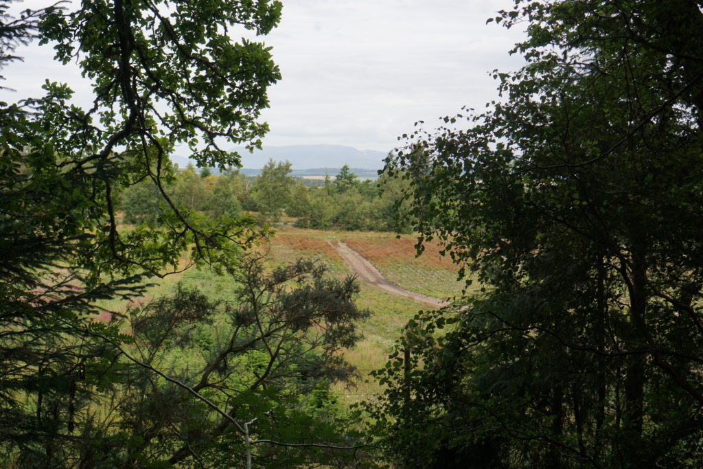
The Ord Hill Circular (blue route) also heads uphill from the main car park, and then to the left along a forestry road, which is very dull for the first kilometre. The woods then open up on the left to give some views over towards Ben Wyvis, and the farmland of the Black Isle.
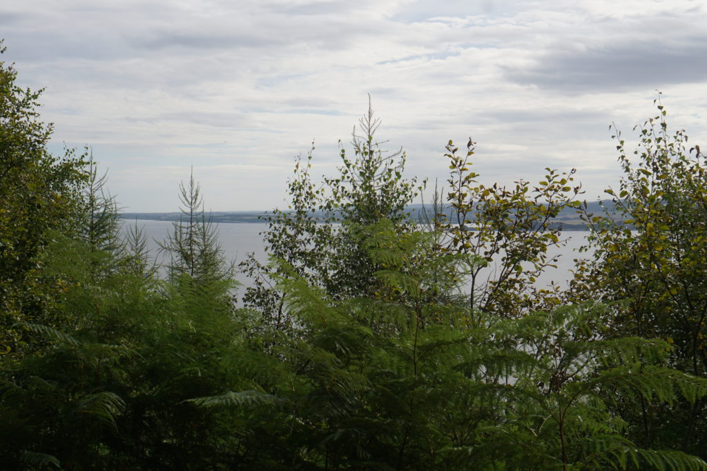
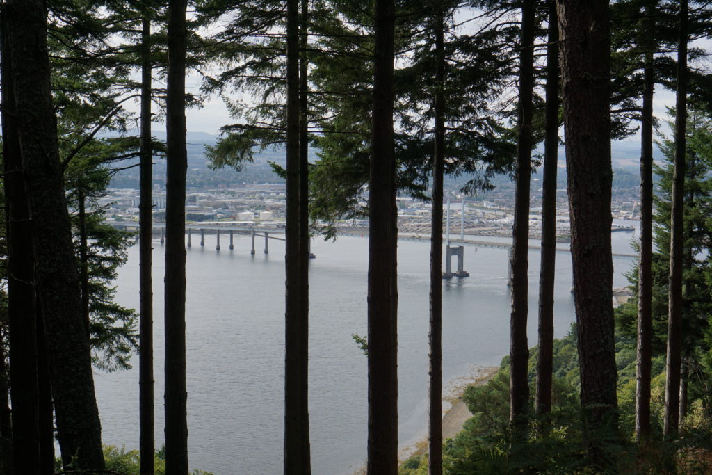
The path then turns around the end of the hill and returns on the seaward side, with views of the Moray Firth, Inverness and the Beauly Firth. In common with all the views on the blue route, these are obstructed by trees, in this case lots of young conifers.
Ord Hill: Accessibility
The red route is not suitable for wheels as it has a number of flights of steps.
The blue Ord Hill Circular route is suitable for balance bikes and off-road prams, as long as you are happy to tackle reasonably long slopes of moderate gradient. These are hard to represent in photos, but I have attempted to do so below! They were steep enough that it was quite hard work to push up, and I wanted the pram’s wrist strap on for safety on a couple of downhills, but it was very doable.
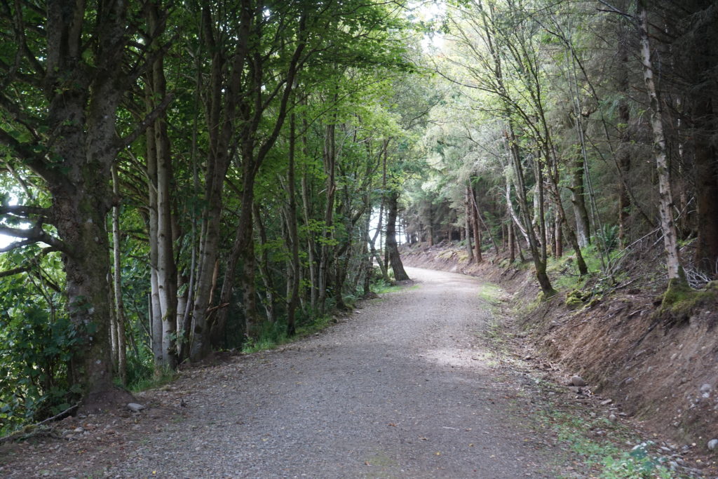
Tackling the walk in a clockwise direction, the path does become narrower towards the end of the route, but it was still plenty wide enough for our Mountain Buggy Duet pram.
Ord Hill: Orienteering
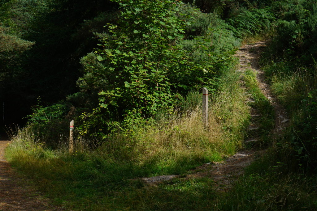
There is also a permanent orienteering course set up at Ord Hill, and you may spot the white and red marker posts as you walk around. You can find a course map and instructions on the Go Orienteering website if you are interested in having a go. We have tried the ‘Short introduction’ course which was straightforward for a child to navigate, but not doable with a pushchair.
You might also enjoy these other short walks in and around Inverness.