14 short walks in and around Inverness
The area around Inverness is very beautiful and also steeped in history, with two ancient hill forts on either side of the firth, and Culloden Battlefield nearby. Here are some of our favourite walks for enjoying the beauty and history, and getting a sense of Inverness. These walks are all under 3 miles long so they are suitable for most children.
We have a full walk guide for each walk, so do click through to read those if you would like further details. We also have a list of specifically pushchair-friendly routes.
Our favourite walks in Inverness
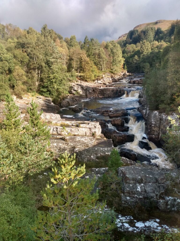
1. Ness Islands

Distance: 1.5 miles / 2.4km
The Ness Island circuit is a delightful family walk right in the heart of Inverness. This small group of islands sits in the middle of the River Ness in the southern part of the city, and the islands are connected across the river by a series of footbridges. The Ness Islands are beautifully landscaped, and contain a number of interesting sculptures. The full loop is good quality tarmac paths, and is suitable for most buggies. A must-do walk if you are exploring Inverness city.
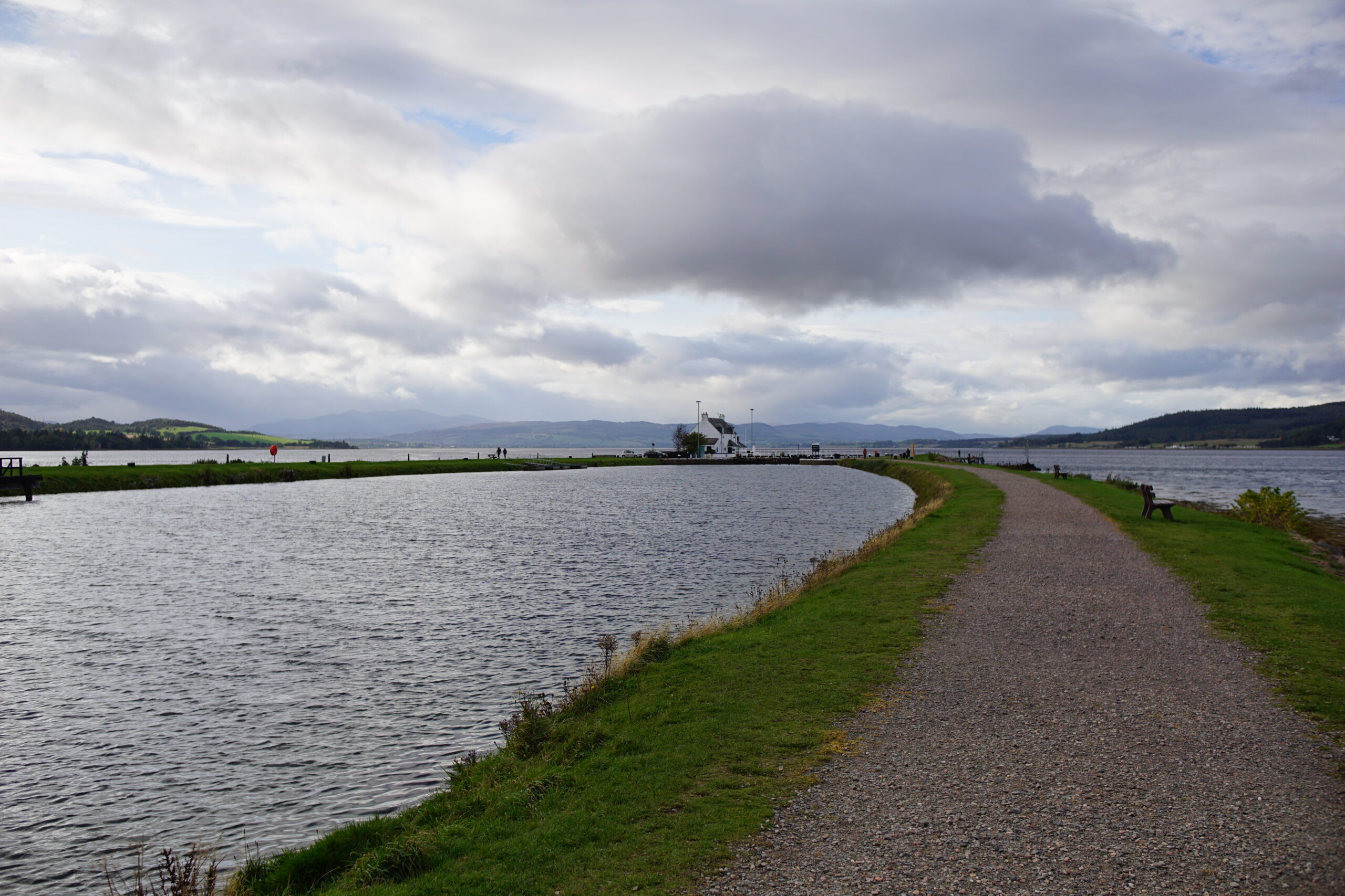
2. Merkinch Local Nature Reserve and the Caledonian Canal

Distance: 2.8 miles / 4.5km (easy to shorten or lengthen as desired)
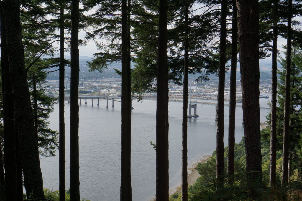
The walk through Merkinch Nature Reserve to the end of the Caledonian Canal is my favourite walk in Inverness. Magnificent views open up all around you: the Beauly Firth with the hills rising beyond, the railway, the loch-keeper’s cottage, and the water running out to sea under the Kessock Bridge. This is a gem, and not to be missed if you want to get a sense of the area around Inverness.
3. Craig Phadrig
Distance: 1.5 miles / 2.3km
On the hilltop to the west of Inverness lies the hill fort of Craig Phadrig, dating back to Pictish times. This is the mostly likely scene for the famous encounter between the Pictish King Bridei and St Columba, which happened around the year 565AD. Step back into history as you climb up to the hill fort, and enjoy the views down to Beauly along the firth.
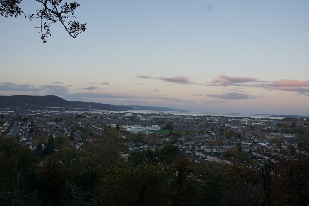
4. Tomnahurich Cemetery Hill
Distance: 1.2 miles / 2km
Tomnahurich is a prominent Inverness landmark, with steep sides rising sharply above the flat river plain of the city centre. It is surrounded by a Victorian cemetery, and there are also graves and a war memorial on top of the hill. The hill is a glacial esker ridge, like nearby Torvean. The views from the top are spectacular, with all Inverness laid out at your feet. It’s a beautiful and peaceful spot.
Our favourite walks around Inverness
These walks are all within about 30 minutes drive of Inverness city centre, and will give you an opportunity to explore the local area.
1. Culloden Battlefield

Distance: 1.2 miles / 2km (various walks available)
Culloden was the last battle fought on British soil. On 16 April 1746, the Jacobite and government armies met here, resulting in a decisive victory for the government forces, and effectively the end of the Jacobite campaign. You can explore the battlefield on its own, or also visit the Visitor Centre (there is a charge for the centre).
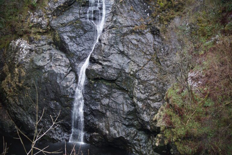
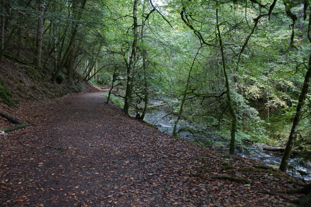
2. Reelig Glen
Distance: 1 mile / 1.5km
Reelig Glen is home to some of the tallest trees in Europe. This is due to the microclimate of this narrow, steep-sided gorge, cut by the Moniack Burn which runs through the middle. There’s a great variety of coniferous and deciduous specimens, as well as some impressive moss and lichen. The glen also has a small but interesting folly at the upper end, built by the James Baillie Fraser to provide work for those impoverished by the clearances.
3. Abriachan Forest Trust

Distance: 1 mile / 1.5km main route or 2.5 miles / 4km for Carn na Leitire hillwalk
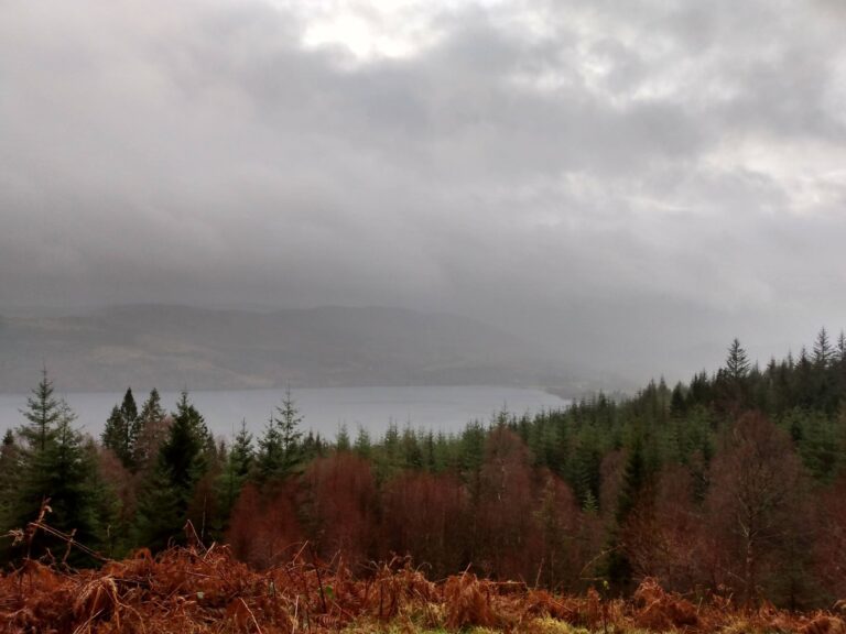
The Abriachan Forest Trust was one of the first community buyouts in Scotland. They have a wonderful, quirky site up above Loch Ness, with lots to see and do, including ponds, treehouses, and a replica Bronze Age roundhouse. Above Abriachan is a wonderful small hill called Carn na Leitire, with outstanding views over Loch Ness (if the weather is fine!).
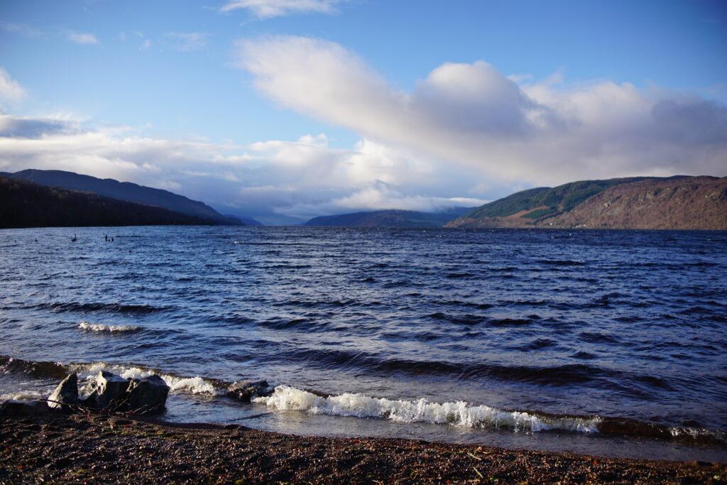
4. Dores Beach and Aldourie Castle
Distance: Anything from a very short walk up to about 4.2 miles / 6.8km
The village of Dores is about 15 minutes drive from Inverness, just at the northern end of Loch Ness. The view from Dores beach is outstanding, I could sit here for ages in all sorts of weathers. From the far end of the beach, you can walk through woodlands around the edge of the Loch to Aldourie Castle, a fine 17th century house.
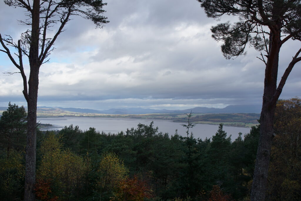
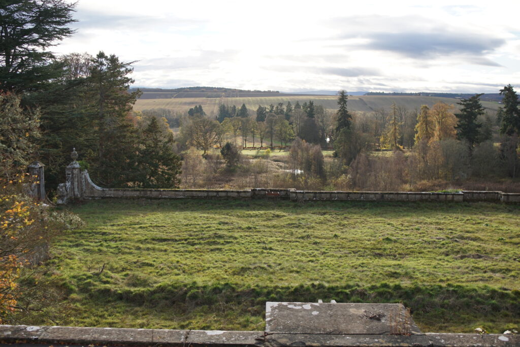
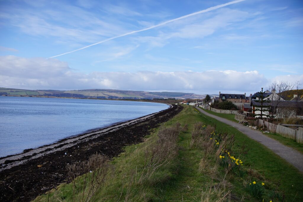
5. Rosehaugh Estate
Distance: 1.5 miles / 2.4km with the possibility to extend
Rosehaugh Estate lies just outside Avoch on the Black Isle. The big house was demolished about sixty years ago, though some of the cellars and the garden terraces remain. The estate itself is beautiful, and well worth exploring.
6. Loch Moy Circular
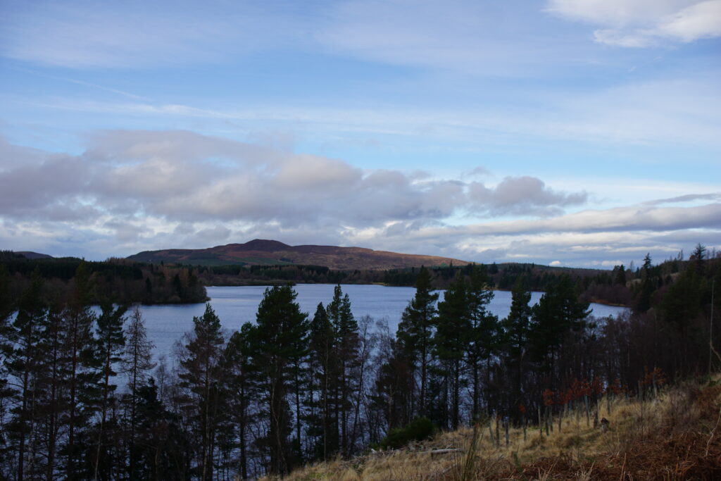
Distance: 4 miles / 6.5km
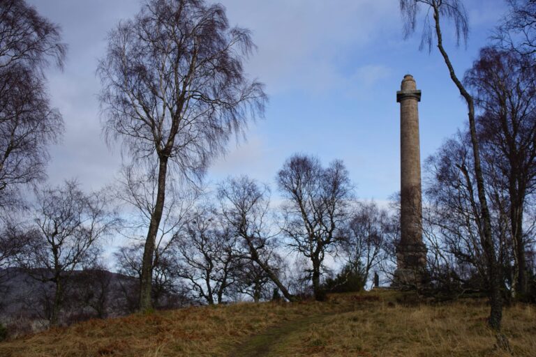
Loch Moy is one of the larger freshwater lochs near Inverness, and it is a beauty. This circular walk begins and ends on the pavement, but the glorious views along the far side of the loch more than make up for this. Take some binoculars and admire the Isle of Moy, with its obelisk and traces of a ruined castle.
7. Touchstone Maze

Distance: 2.25 miles / 3.5km
Up in the woods above Strathpeffer is a labyrinth of rocks, the Touchstone Maze, brought from quarries all over the Highlands. The rocks themselves are ancient, but the maze itself was built in 1994, celebrating the rich geological environment of the Scottish Highlands. The walk up to the Touchstone Maze runs through Blackmuir Woods along the slopes of Cnoc Mor, with beautiful views down over Strathpeffer.
8. Culloden Wood and the Prisoners’ Stone
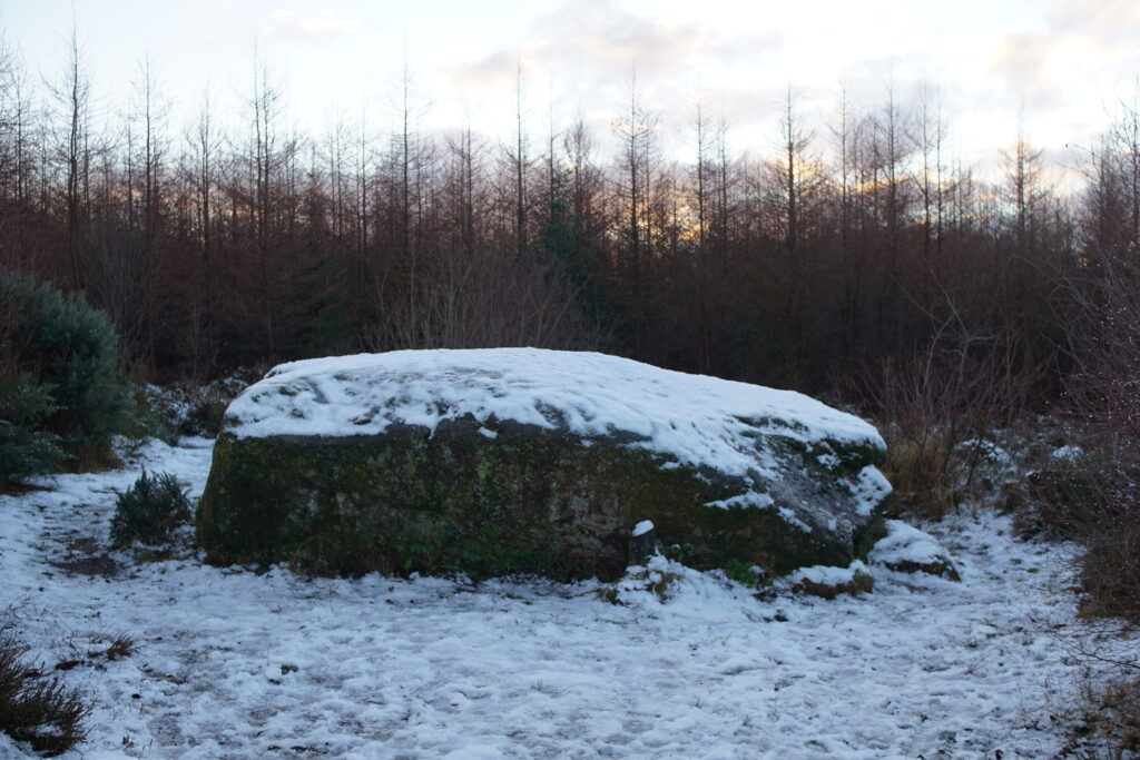
Distance: 2 miles / 3.25km
Culloden Woods is a popular local area for walking. It contains St Mary’s Well, a walled local Clootie Well where people came for healing. It is also the site of the Prisoners’ Stone, a large boulder which, according to local tradition, was the site of a mass execution after the battle of Culloden.
9. Ardersier to Fort George
Distance: 3 miles / 4.5km return
This walk along the Ardersier shore line has stunning views out across the Moray Firth, and the opportunity to explore Fort George, a vast artillery fortification built after the Battle of Culloden.
10. Ord Hill
Distance: The hill fort trail is approximately 1 mile /1.5km but there are a number of longer walks.
Ord Hill is visible across the firth from Inverness, and is topped by a Pictish hill fort, with some similar characteristics to that on Craig Phadrig. The hill is tree covered, so there aren’t many viewpoints, but you can get some sneak peaks of the Moray Firth. There is a permanent orienteering course here, which we really enjoy.