Speyside Way: a buggy-friendly walk with a steam train!

This walk is on the longer end of our buggy-friendly adventures, but the motivational power of a steam train ride is high, and it will hopefully keep you going in good spirits! The walk takes in a section of the Speyside Way from Boat of Garten to Aviemore, with a suggested return trip on the Strathspey Railway.
Distance: 6.25 miles / 9.5km, depending a little on the route you take through Aviemore.
Parking: this walk can be done in either direction. We decided to start in Boat of Garten, parking in the very spacious station car park, which is signed through the village if you are coming from the A95. It is at the back of the golf club car park. This worked out better for us for train times, and we also thought it would be fun to explore Aviemore if we had extra time before our return train ride.
NB: if you are bringing a pushchair, access to Boat of Garten station (and the start of the walk) is over a footbridge from the car park. You may wish to drop some of your party with the pushchair at the main station entrance before parking.
Amenities: Toilets are available at Aviemore station, and there are lots of options for food and drink in Aviemore itself.
Buggy/bike friendly? We took an all-terrain pushchair (a Mountain Buggy Duet) on this walk, and found it mostly very accessible. There was one rather rough stretch of track, and one steep section down to a stream on the outskirts of Aviemore. The steam train were happy to put our pram in the guard’s van. We saw lots of mountain bikers, and this section of the Speyside Way could definitely be done as a cycling route.
Speyside Way: the route
This walk description is for the route from Boat of Garten to Aviemore, but of course it could be done in reverse. Check the train times from the Strathspey Railway if you are hoping to return by train.
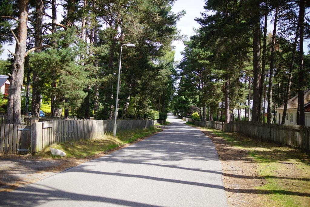
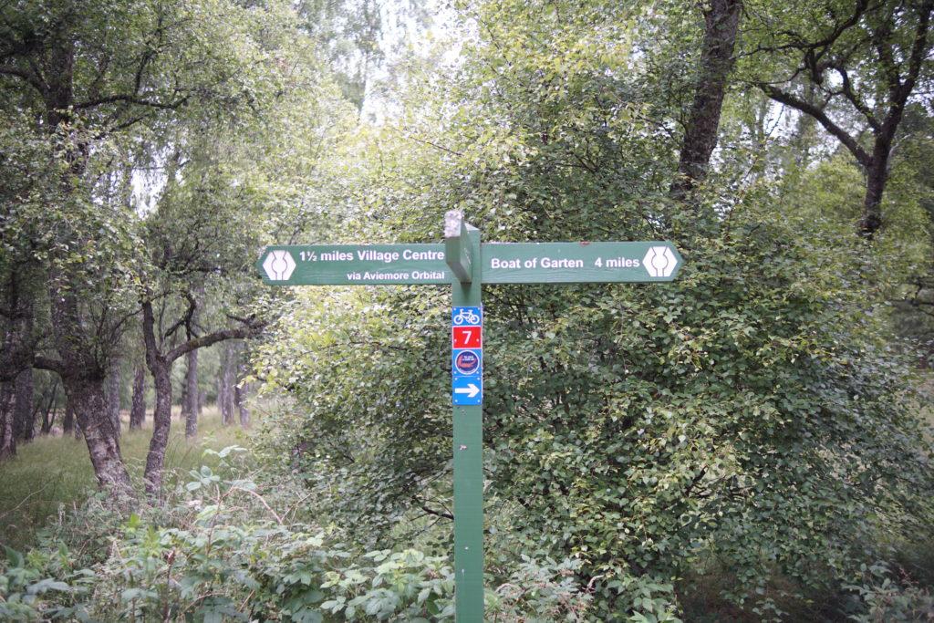
1. From Boat of Garten Station, turn left along the main road, and after a few metres turn left again up Kinchurdy Road, opposite the Post Office. (National Cycle Route 7 is signed this way).
2. Follow Kinchurdy Road for about three quarters of a mile to its end. There isn’t a pavement for much of the way, but it is a quiet and pleasant tree-lined road. At the end, the road splits into two main tracks. Continue straight ahead, along the route signed for the NCN7 and Loch Nan Carriagean.
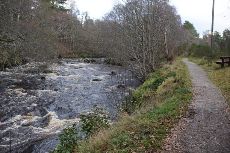
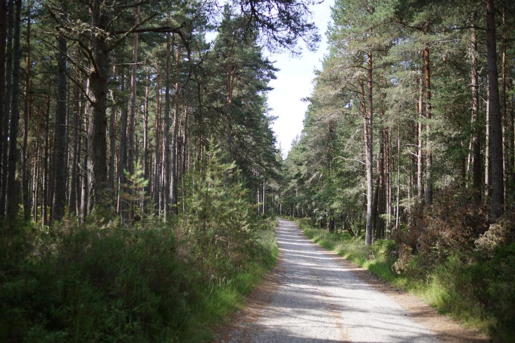
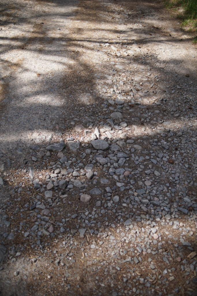
3. The path becomes rougher underfoot at this point. Keep an eye and ear out for bird life in the trees! Follow a vehicle track through the woods for another three quarters of a mile, where the path divides just after a cottage on the right.
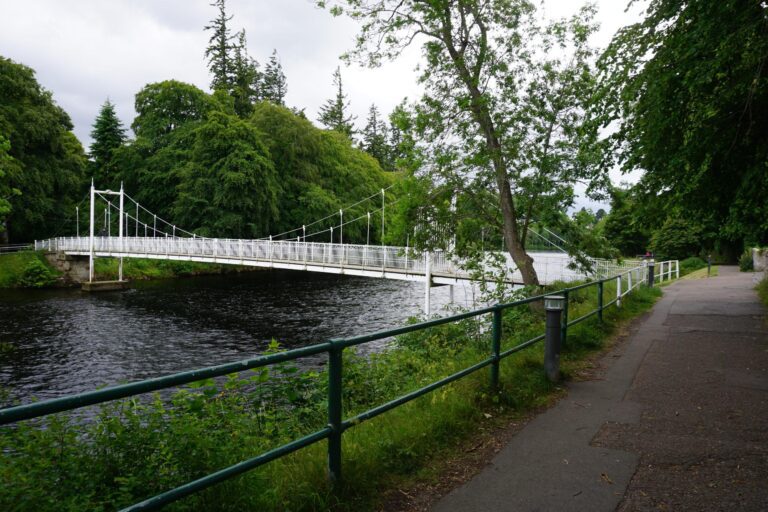
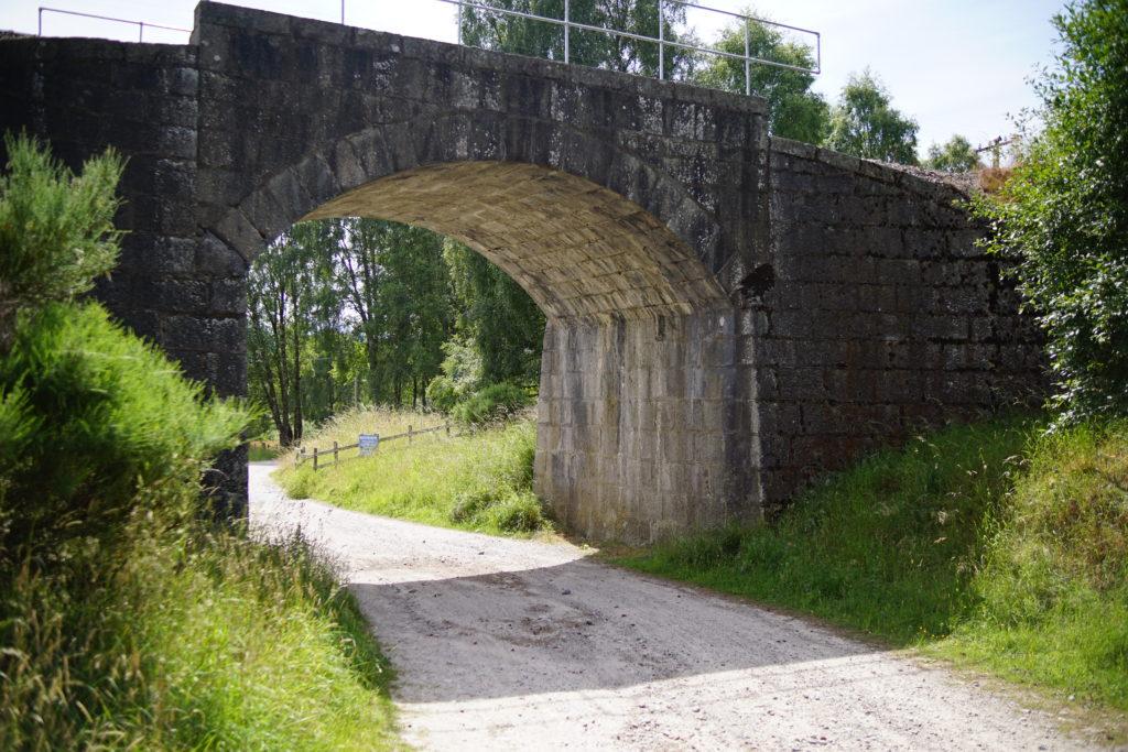
4. Just after the cottage, take the path which heads left downhill under the railway line. Immediately after the railway arch, turn right along the railway line, following the route signed NCN7 and to Aviemore.
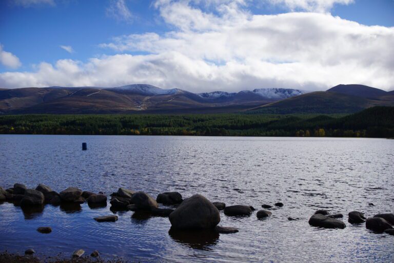
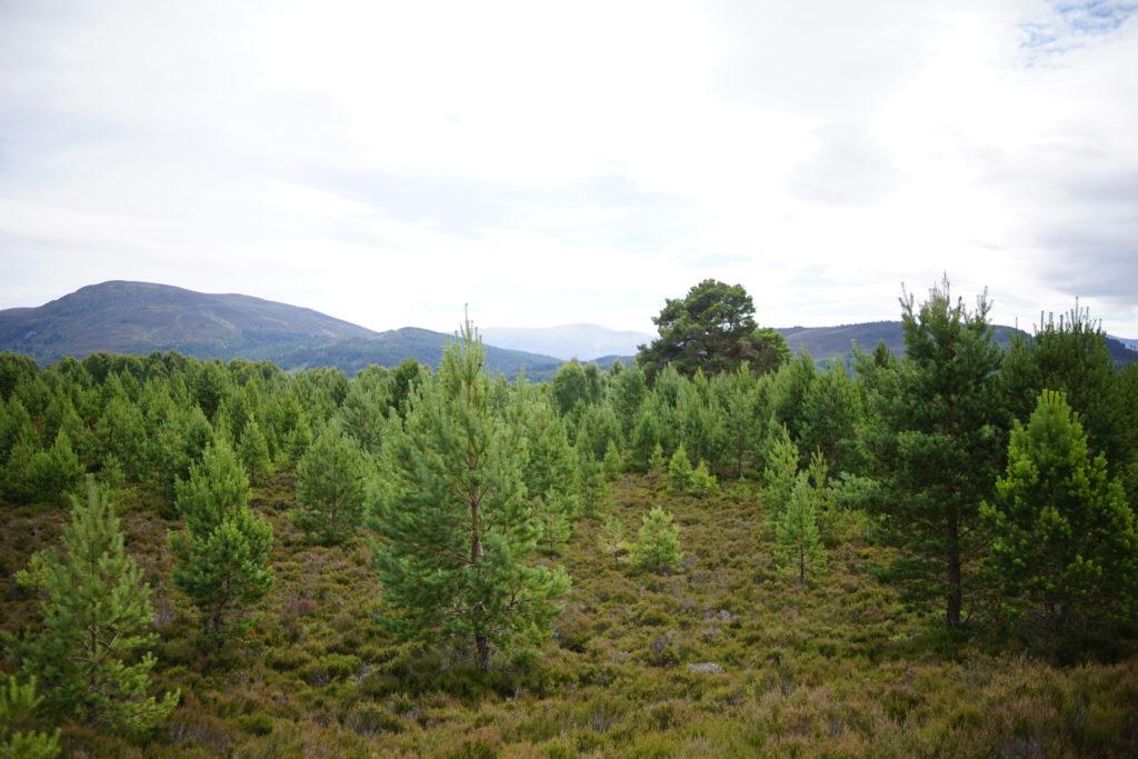
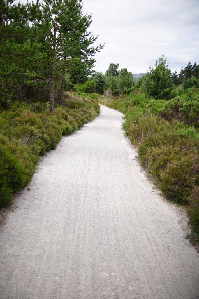
5. The path here is of good quality and winds across moorland with small conifer trees. At points it runs close to the train line and you might be able to wave to a steam train. As you approach Aviemore there are views across the Spey Valley up to Cairngorm Mountain. The route then runs through a birch wood alongside a golf course.

6. After 2.5 miles, the path divides at the edge of Aviemore, and here there are several route options. The fastest route to the station is straight ahead signed ‘1.5 miles Village Centre’.
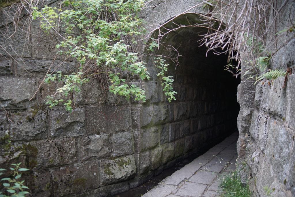
7. There is a short but fairly steep descent, and the path goes under the railway line through a tunnel. Ascending on the other side, you will find yourself at the edge of Aviemore’s industrial estate, next to the Route 7 Cafe.
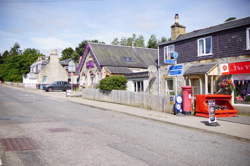
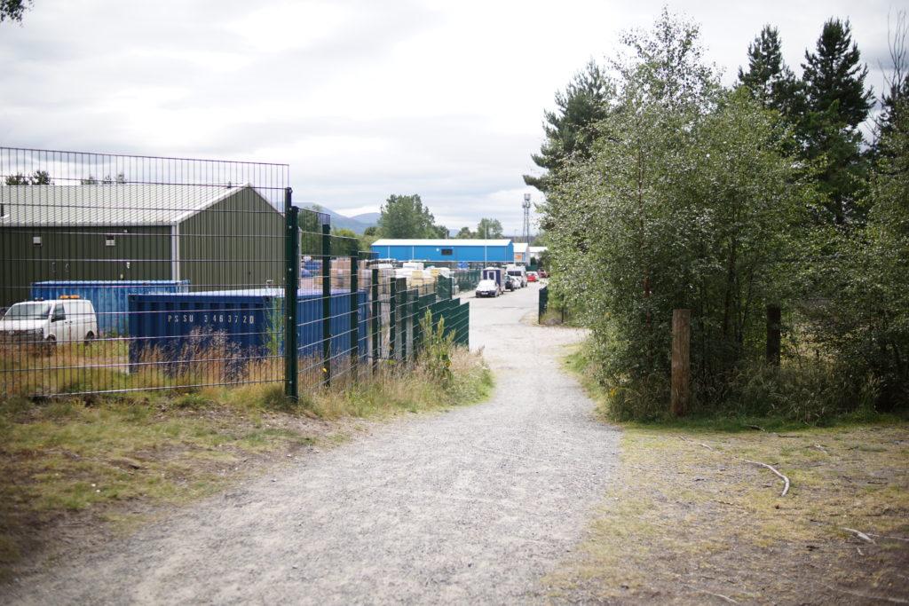
8. Walk through the industrial estate to Dalfaber Drive. This is really the last opportunity to cross the railway line before the station, which is still nearly a mile away. We turned right to walk through central Aviemore, with access to the shops. An alternative would be to turn left and follow Dalnabay and Dalfaber Road along the east side of the railway line to the back of Aviemore Station. I think this would be a more pleasant route and would mean you could avoid lifting a pushchair over the station footbridge, but I haven’t tried it.
Speyside Way: What is the terrain like?
The route is a mixture of tarmac roads and pavements, a hard-packed grit bike track, and a short section of gravelly vehicle track. The vehicle track was rather bumpy, but otherwise it was excellent terrain for a pushchair.
There was one fairly steep descent and ascent to travel under the railway line at the edge of Aviemore. This was a very short stretch of the walk, but you would want to have a good hold on the buggy and possibly descend backwards.


Things to look out for:
Look out for wild flowers, railway tunnels, raspberries, bilberries and sightings of the steam train! Remember to look up high for possible sightings of Ospreys. There are also a couple of geocaches along the route…geokids may need a shoulder ride for one of these.


Final thoughts
We had a really fun day out doing this walk as a family, and it was fun to push our distance a bit. The terrain on this walk makes it easy to cover the miles reasonably quickly, but our toddler did have a carrier ride for some of the way. We didn’t particularly enjoy the last mile through Aviemore, especially as it was a busy summer Saturday. Another time, we might try a route down the east side of the train line rather than through the centre of the village.
If you want to catch the steam train home, make sure to check the train times and allow yourself a good amount of time. As a guide, with several small children and a good lunch break we took 3.5 hours to complete this walk.
If you are looking for buggy-friendly walks in the Cairngorms, you may also enjoy these other routes.