
Culloden Battlefield Walk: Step back in history
Culloden was the last battle fought on British soil. On 16 April 1746, the Jacobite and government armies met here, resulting in a decisive victory for the government forces, and effectively the end of the Jacobite campaign. Visiting Culloden and walking around the battlefield is a wonderful opportunity to understand better what happened on that fateful day.
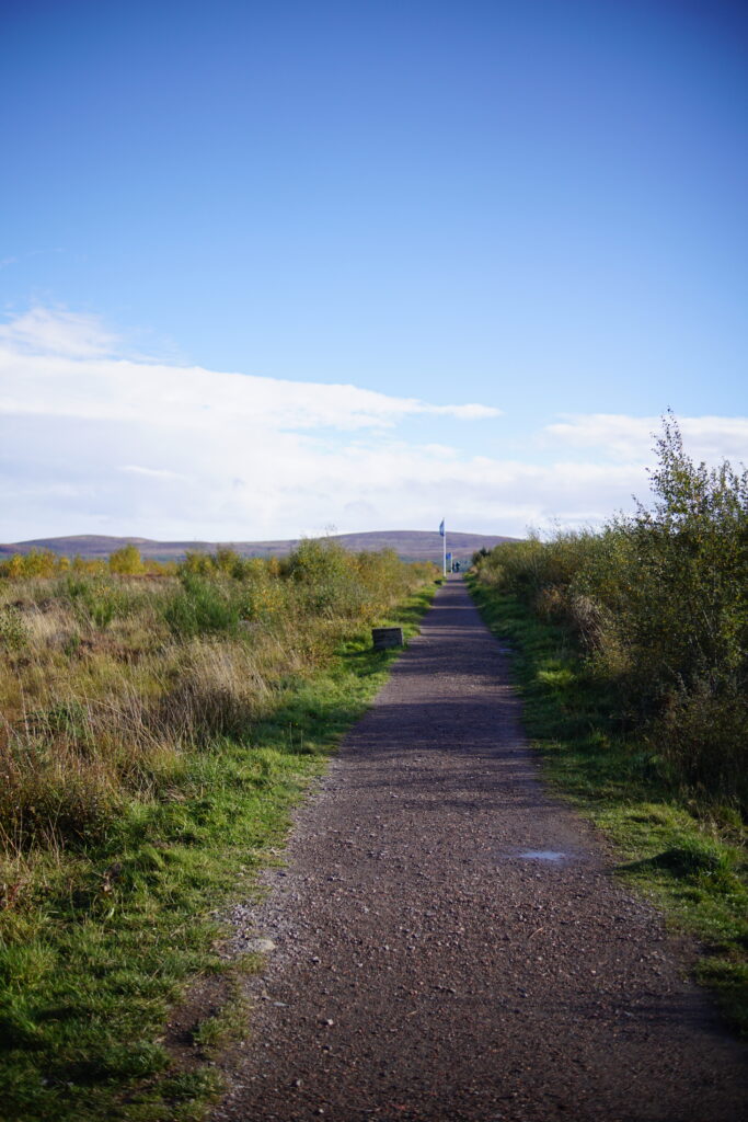
Distance: Our route was 1.2 miles / 2km but there are many longer or shorter options around the battlefield.
Parking: There is a large car park outside the NTS Battlefield Centre. There are some free spaces immediately as you turn off Culloden Road. There is a small charge to use the main car park (free for NTS members).
Amenities: Toilets and a cafe at the Visitor Centre. The Visitor Centre is really excellent if you would like to learn more about Culloden. (There is a charge for the Visitor Centre; you can access the battlefield without paying for the visitor centre exhibition).
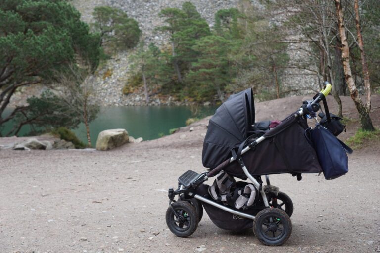
Buggy-friendly? The main paths are wide and level, and very suitable for pushchairs.
Culloden Battlefield: the history
Culloden was the last stand of the Jacobite Army under Bonnie Prince Charlie (of Over the Sea to Skye fame). Bonnie Prince Charlie (Charles Edward Stuart) had arrived in Scotland the previous summer, hoping to gain the British throne for his father. At first he had great success, reaching Edinburgh, and was victorious in several battles. His army then continued south with the aim of marching on London, but there was disagreement in the leadership, and they eventually turned back at Derby. This gave the government army time to get organised, and follow them back up to the north. A blockade by the Royal Navy meant that by the spring of 1746, both money and supplies were running low. The Jacobites therefore decided to meet the government forces in battle.
On 16 April 1746, the Jacobite army had been marching all night, after a chaotic attempt to ambush the government forces in Nairn, where they were celebrating their commander’s birthday. The Jacobites were therefore exhausted, and also hungry, as their supplies were running very short. They occupied the boggier lower ground on the east of the battlefield, which hampered their charge.
If you have children, The Reluctant Rebel by Barbara Henderson has its opening chapter set at the Battle of Culloden, and is a very good read (I would say roughly age 8+). For something lighter, Bonnie Prince Charlie and All That by Allan Burnett provides some good historical context in a ‘Horrible Histories’ style format.
I would also highly recommend the visitor centre if you want to understand the context of Culloden, it is very well done.
Culloden Battlefield: the route
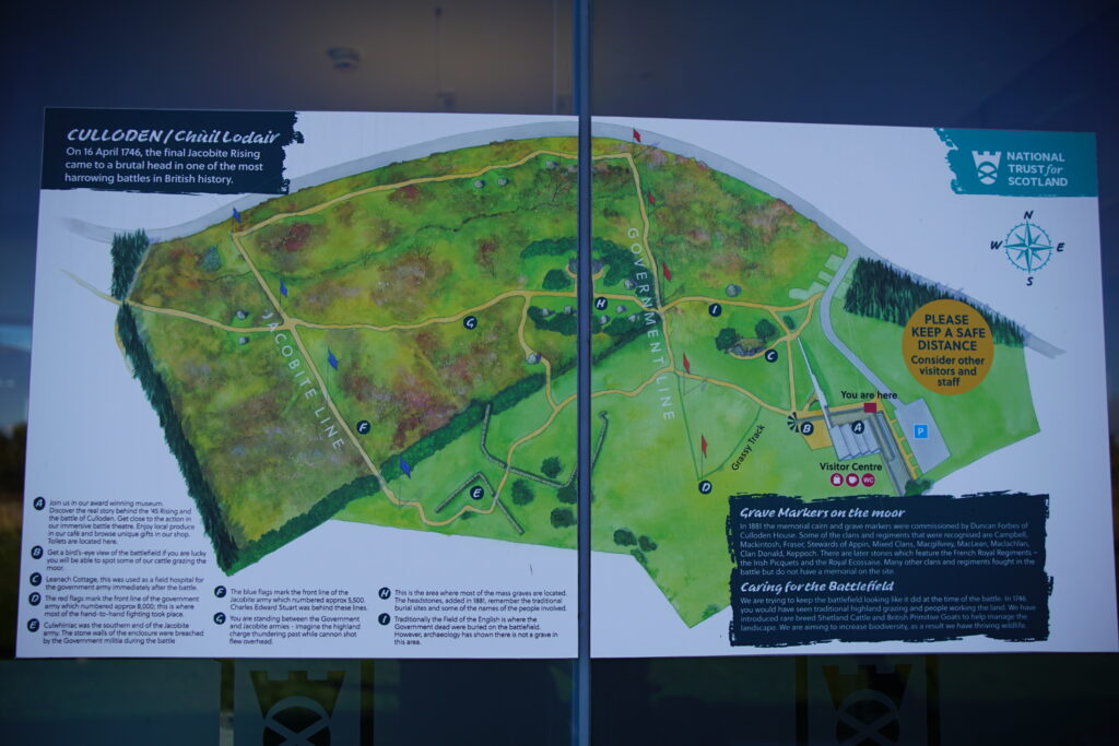
There are many paths around Culloden Battlefield, and it is quite hard to visit the whole field without retracing steps at points. This suggested route takes in some of both government and Jacobite lines, as well as other major features.
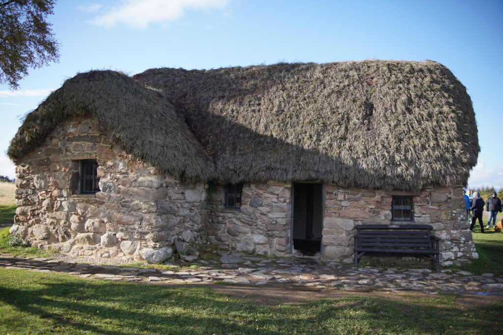
1. Walk along the side of the Visitor Centre, under the arch, and turn right at the junction to visit Leanach Cottage, which stood behind the government lines during the battle, and was likely used as a field hospital. Later, it was used as the original visitor centre before the current building. The roof is thatched in local heather.
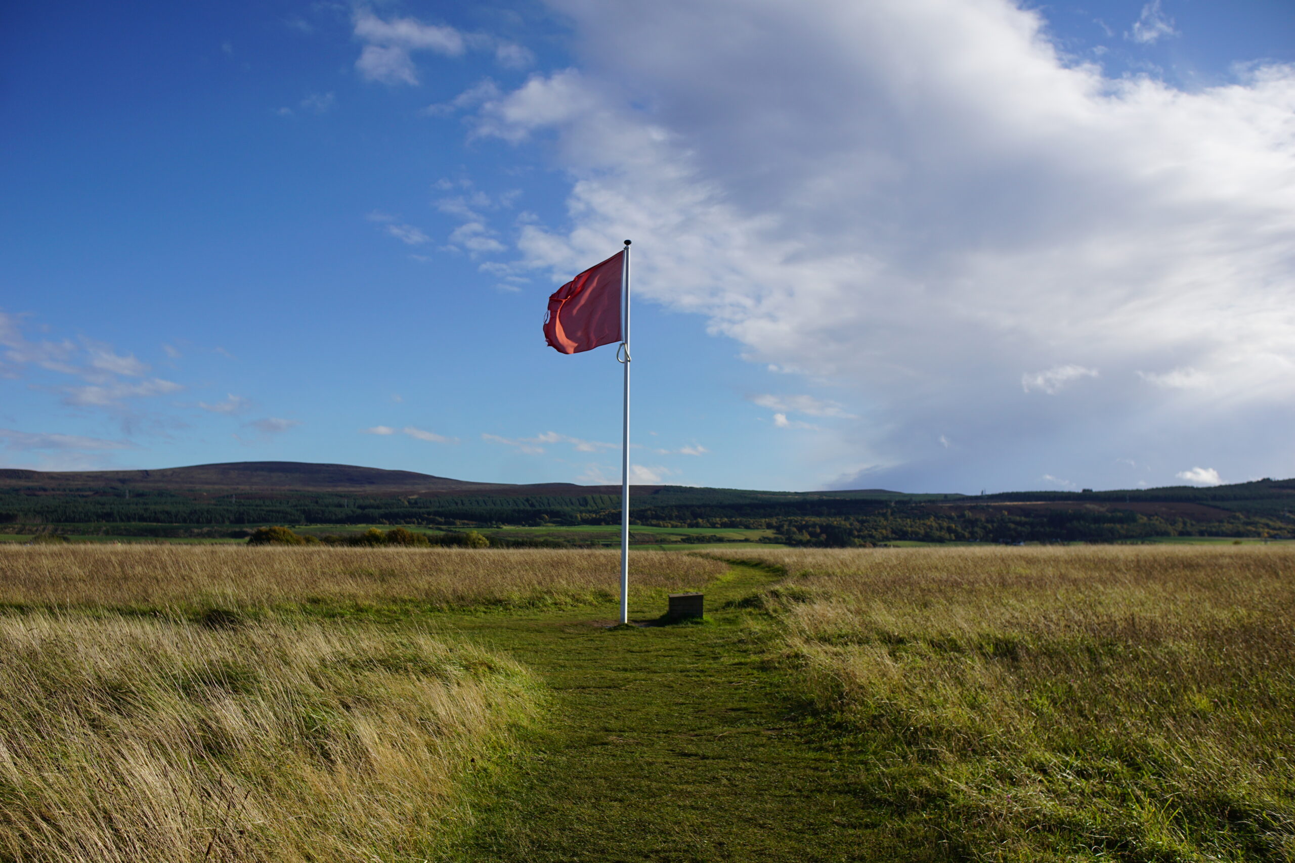
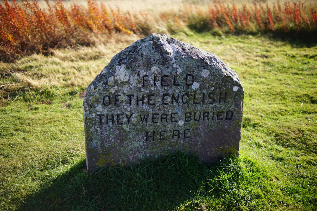
2. Continue past Leanach Cottage and then bear left to reach a red flag on the government front line. On your way you will pass a marker stone for the ‘Field of the English’. There are quite a number of marker stones and gravestones around the battlefield, placed in 1881, so long after the battle. Recent research has not found any evidence of a mass grave near this stone. Moreover, the government army was not only comprised of the English, but Welsh, Irish and Scots as well, so this stone is not very accurate, but still interesting!
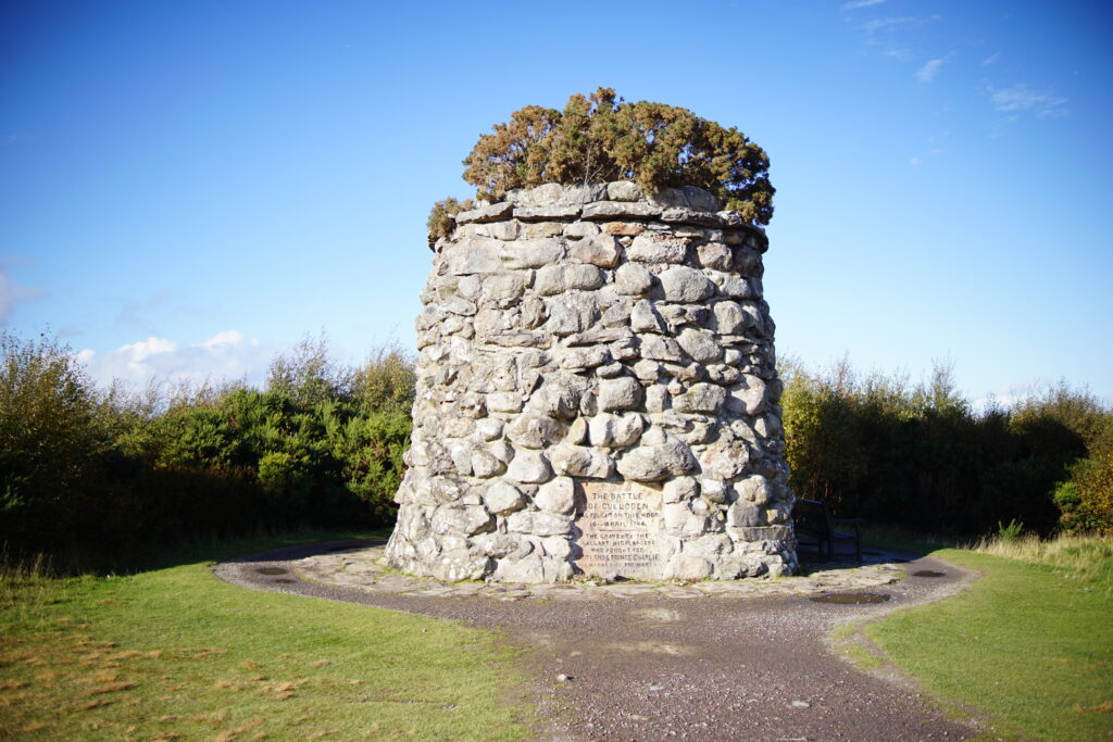
3. Cross straight over the government line at the flag, and continue towards the main battlefield monument. Along this path are quite a number of marker stones, for the graves of the different clans. Again, the stones not necessarily wholly accurate, but representative of those who fought here. The large memorial cairn was also built in 1881 by Duncan Forbes.
4. Continue towards the blue flags, marking the Jacobine lines. The ground here is boggier, with heather and gorse. It is likely that the battlefield was boggy in 1746. Turn left along the line of blue flags to follow the Jacobite front line, and read the stones to see the names of the different clans who fought at Culloden.
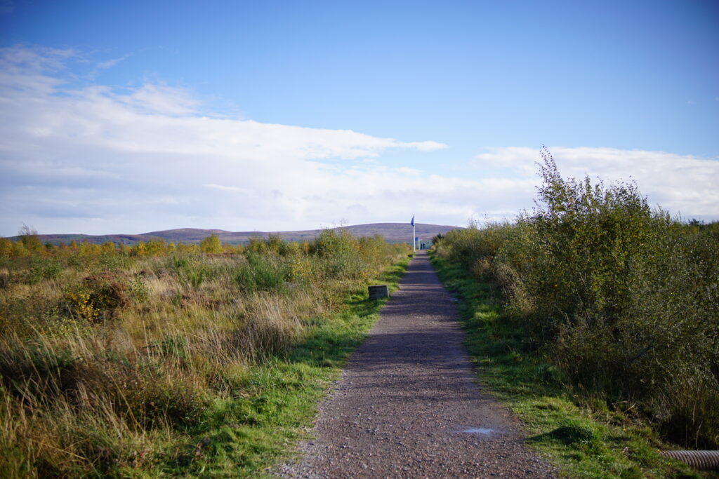
4. At the last blue flag, turn left along the side of the battlefield, back towards the government lines.

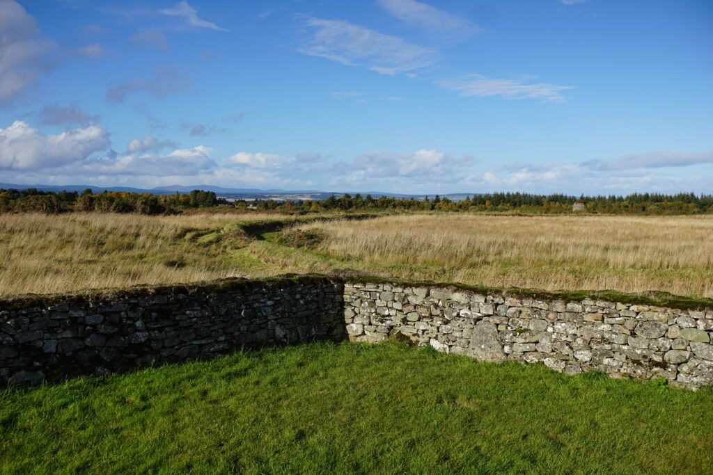
5. You will now pass the corner of a wall, which is the reconstructed edge of the Culwhiniac Enclosure. This was an important battlefield feature, and enabled government forces to effectively ambush retreating Jacobite troops.
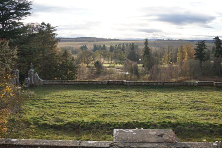
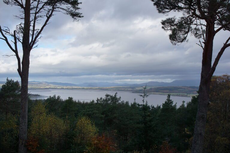
There are also some fine views from here across the Moray Firth towards Ben Wyvis.
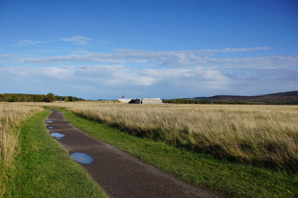
6. Continue back to the government lines, and then the visitor centre, to finish your walk.
Culloden Battlefield: the terrain
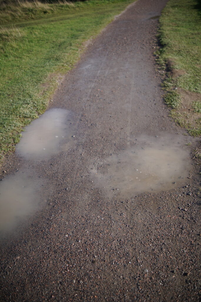
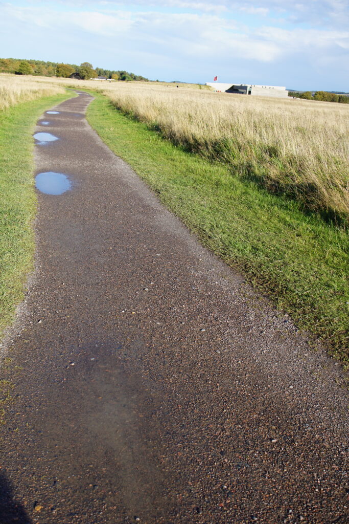
The main paths at Culloden Battlefield are wide, level and flat, and they would be suitable for most pushchairs. There can be some puddles after rain. Some areas of the field have grass paths, which would require an off-road buggy, but you can see all the main elements without going onto the grass.
Things to look for
There are many interesting things to see around the battlefield, with the blue and red flags marking the battle linese, Leanach Cottage, marker stones, and an ancient well. There are also sometimes Highland cows grazing on the moorland.


You might also enjoy these other short walks in and around Inverness.
Hi,
I’m the Picture Editor at Little Brown Book Group. I’m currently working on our book ‘Myths of Geography’ our author would like to use your image of the Culloden stone in the inside of his book. Could you please let me know if this would be possible?
Many thanks
Linda
Hi Linda,
Thanks for getting in touch! Yes that would be fine. Let me know if you need a larger resolution file.
Thanks,
Water and Wild